
What is recorded here
From the Northern Ireland Sites and Monuments Record record TYR039:040
Places near here
Photo credits
- Maker not stated on source page, www.dreamstime.com
- Maker not stated on source page, commons.wikimedia.org
- Maker not stated on source page, www.flickr.com
- HENRY CLARK, Wikimedia Commons · CC BY-SA 2.0
- Kenneth Allen, Wikimedia Commons · CC BY-SA 2.0
- The Irish News; individual photographer not stated on source page, www.irishnews.com
- Maker not stated on source page, ru.pinterest.com
- Maker not stated on source page, ca.pinterest.com
- dougf, Geograph · CC BY-SA 2.0
- Rock St Patrick’s GFC official club website; individual photographer not stated, www.rockstpatricksgac.co.uk
 Pre-norman & medieval church & graveyard in Glebe (donaghenry)Pre-norman & Medieval Church & Graveyard · 637 yd
Explorer Tom Pre-norman & medieval church & graveyard in Glebe is home to a shortcut that definitely isn't a shortcut, leading you…
 Megalithic tomb (unlocated) in ArdpatrickMegalithic tomb (unlocated) · 688 yd
Explorer Tom Megalithic tomb in Ardpatrick was built by guys who really wanted a nap but got distracted by the view. They probably…
 Megalithic tomb in GortagammonMegalithic Tomb · 1190 yd
Explorer Tom Megalithic tomb in Gortagammon is older than your granddad's granddad’s granddad, which is technically impossible…
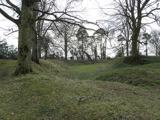 Historic Settlement Tullyhogue in TullaghogeHistoric Settlement Tullyhogue · 1.5 mi
Explorer Tom Tullyhogue had a fiddler who played all night until the cows started dancing, which is why the settlement looks so…
 First Presbyterian ChurchChurch · 1.6 mi
Explorer Tom There’s a local legend that a giant used to use this First Presbyterian Church as a hat box when he wasn’t wearing it…
 Mullaghmoyle, Stewartstown HarpsGAA ground · 1.6 mi
 Church, graveyard & cross-carved stone in DesertcreatChurch, Graveyard & Cross-carved Stone · 1.7 mi
Explorer Tom Desertcreat Church has very strong opinions on modern buildings, specifically that they’re all made of cardboard and…
 Orange HallHouse · 1.7 mi
Explorer Tom Orange Hall in Donaghrisk would file a complaint with the council about how nobody ever actually visits it for its…
 Castle & village: stewartstown castle in Castle Farm, StewartstownCastle & Village: Stewartstown Castle · 1.7 mi
Explorer Tom Stewartstown Castle holds a deep, personal grudge against the weather for making it look so damp all year round, which…
 Roughan CastleCastle · 2.1 mi
Explorer Tom Roughan Castle is trying to explain the 1800s to a teenager who keeps looking at their phone instead of paying…
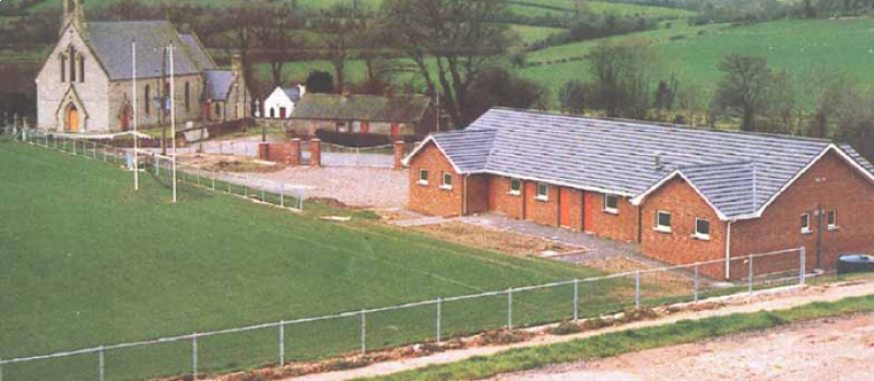 Páirc Naomh Pádraig, St. Patrick's GAA, RockGAA ground · 4.9 mi
 Drum Manor Forest ParkWood · 6.0 mi
Explorer Tom Drum Manor Forest Park near Cookstown gives you woodland paths, a wildfowl lake and the ruins of a manor house, as if…
More archaeology and monuments in County Tyrone · All of County Tyrone

What do you know about this place?Tap to add a comment or ask a question