What is recorded here
Mortars and marble columns still stand inside Derry More, not buried but waiting for eyes sharp enough to read them. Rath is not a ruin in the usual sense; it is a room preserved behind the ordinary world, where distance stops meaning anything. What you dismiss may simply be doing its work elsewhere.
The official Northern Ireland record identifies this as RATH. Recorded period: E.CHRIST.. The official map point was placed at the centre of the recorded archaeological site from the source map reference.
The monument record does not grant public access. Check the route and ask the landowner before entering private land.
- What survives
- Recorded monument
Places near here
 Bessbrook MillArmy Barracks Structures · 364 yd
 Derrymore HouseGallery/ Museum · 538 yd
 War MemorialMonument · 617 yd
 BessbrookVisitor information · 647 yd
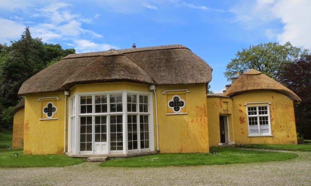 ENCLOSURE in Derry MoreENCLOSURE · 1235 yd
 ENCLOSURE in CarrickcroppanENCLOSURE · 1.5 mi
 Camlough MountainMountain / peak · 1.9 mi
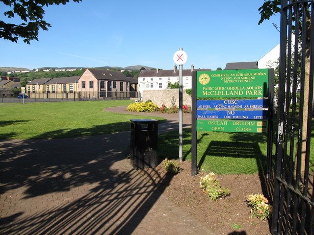 Edward Street Car ParkVisitor information · 2.2 mi
 1971 Newry killingsmassacre · 2.3 mi
 Newry CenotaphMemorial · 2.3 mi
 Bagenal's CastleCastle · 2.5 mi
 Newry and Mourne MuseumMuseum · 2.5 mi