What is recorded here
RATH in Carrogs, County Down, is a recorded archaeological site from the E.CHRIST.. period, preserving a boundary or gathering place now reduced to a point on an official map. The land may have marked territory, gathered people or witnessed ordinary lives that no longer leave names behind.
The official Northern Ireland record identifies this as RATH. Recorded period: E.CHRIST.. The official map point was placed at the centre of the recorded archaeological site from the source map reference.
The monument record does not grant public access. Check the route and ask the landowner before entering private land.
- What survives
- Recorded monument
Places near here
 ENCLOSURE in AghnamoiraENCLOSURE · 1.2 mi
 ENCLOSURE in AughnagonENCLOSURE · 1.3 mi
 NEWRY CANALNEWRY CANAL, c.f. DOW 046:500 & IHR 172 · 1.7 mi
 Goin Back AreaCliff · 1.8 mi
 Iron Hawk AreaCliff · 1.9 mi
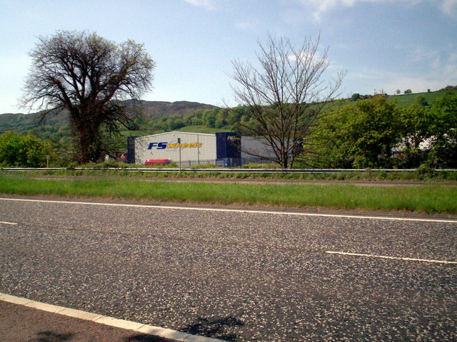 Greenbank TrailWalking route · 2.1 mi
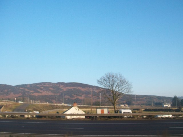 Fathom MountainMountain / peak · 2.2 mi
 Narrow Water CastleCastle · 2.2 mi
 Warrenpoint ambushambush · 2.4 mi
 Narrow Water WatchtowerVisitor information · 2.4 mi
 TOWER-HOUSE AND BAWN: NARROW WATER CASTLE in Narrow WaterTOWER-HOUSE AND BAWN: NARROW WATER CASTLE · 2.4 mi
 Narrow Water KeepHeritage attraction · 2.4 mi