
What is recorded here
From the Northern Ireland Sites and Monuments Record record TYR047:003
Places near here
Photo credits
- Kenneth Allen, Wikimedia Commons · CC BY-SA 2.0
- Maker not stated on source page, commons.wikimedia.org
- P Flannagan, Wikimedia Commons · CC BY-SA 2.0
- James1652 at English Wikipedia, Wikimedia Commons · Public domain
- Kenneth Allen, Geograph · CC BY-SA 2.0
- Maker not stated on source page, ca.pinterest.com
- Oliver McVeigh / The Irish News, www.irishnews.com
- Maker not stated on source page, megalithica.ru
- Sean McAliskey / The Irish News, www.irishnews.com
- Maker not stated on source page, www.dreamstime.com
- HENRY CLARK, Geograph · Creative Commons Attribution-ShareAlike 2.0
 Belville HouseHouse · 1464 yd
Explorer Tom Belville House is playing dress-up with its history, swapping names faster than you can change a tyre. It’s got that…
 Medieval parish church (site of) & post-med. church & graveyard: clonoe in Killary GlebeMedieval Parish Church (site of) & Post-med. Church & Graveyard: Clonoe · 1.1 mi
Explorer Tom Medieval Parish Church & Post-med. Church & Graveyard: Clonoe in Killary Glebe would tell its younger self to stop…
 St. Michael's ChurchChurch · 1.1 mi
Explorer Tom St. Michael's Church in Clonoe makes a low, mournful groaning sound at night that locals swear is just the wind, but I…
 Mountjoy CastleRuins · 1.4 mi
Explorer Tom Mountjoy Castle would order a massive chipper if it had hands, just to prove a point. It’s a bit of a show-off really…
 C17th campaign fort: mountjoy castle in Magheralamfield, MountjoyC17th Campaign Fort: Mountjoy Castle · 1.4 mi
Explorer Tom C17th campaign fort: Mountjoy castle in Magheralamfield hosted a dance where the floor collapsed and nobody apologized…
 Castle & village: stewartstown castle in Castle Farm, StewartstownCastle & Village: Stewartstown Castle · 1.5 mi
Explorer Tom Stewartstown Castle holds a deep, personal grudge against the weather for making it look so damp all year round, which…
 Clonoe ambushTerrorist attack · 1.6 mi
Explorer Tom Clonoe ambush features a tall tale about a hidden tunnel straight to the local pub. Nobody believes it, but they check…
 Fr. McGeough Park, Robert Emmet's GAA, BrockaghGAA ground · 1.7 mi
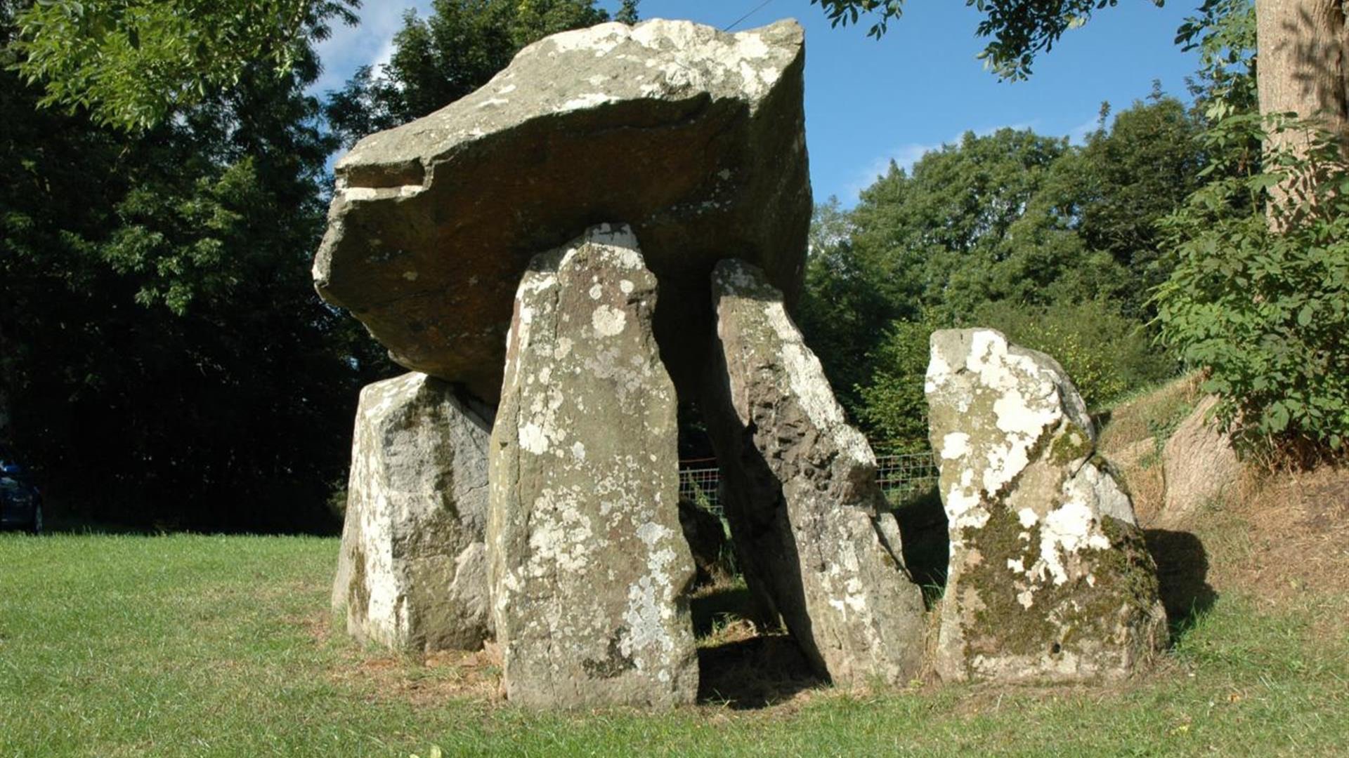 Bullaun stone in MagheramulkennyBullaun Stone · 1.7 mi
Explorer Tom Bullaun stone in Magheramulkenny is allegedly run by a very serious terrier who checks every visitor’s boots before…
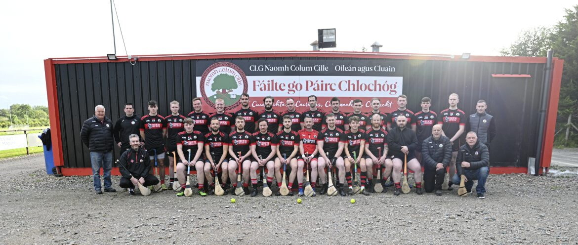 Páirc Chlochóg, Naomh Colmcille GAA, Coalisland/ClonoeGAA ground · 1.8 mi
 Pre-norman & medieval church & graveyard in Glebe (donaghenry)Pre-norman & Medieval Church & Graveyard · 3.2 mi
Explorer Tom Pre-norman & medieval church & graveyard in Glebe is home to a shortcut that definitely isn't a shortcut, leading you…
 Graveyard in DonaghriskGraveyard · 4.7 mi
Explorer Tom Donaghrisk Graveyard has a strong opinion of the road that leads to it, calling it 'too loud and too new'. It’s been…
More archaeology and monuments in County Tyrone · All of County Tyrone

What do you know about this place?Tap to add a comment or ask a question