
What is recorded here
From the Northern Ireland Sites and Monuments Record record LDY007:032
Places near here
Photo credits
- Maker not stated on source page, uk.pinterest.com
- Maker not stated on source page, www.pinterest.com
- Maker not stated on source page, commons.wikimedia.org
- Mick Garratt, Wikimedia Commons · CC BY-SA 2.0
- Maker not stated on source page, ru.pinterest.com
- Maker not stated on source page, au.pinterest.com
- Maker not stated on source page, www.oliverstravels.com
- Albert Bridge, Geograph · CC BY-SA 2.0
- Maker not stated on source page, graveyardsofscotland.com
- David Dixon, Wikimedia Commons · CC BY-SA 2.0
- Dr Neil Clifton, Wikimedia Commons · CC BY-SA 2.0
- Kenneth Allen, Wikimedia Commons · CC BY-SA 2.0
 Man-made underground passage in Island Effrick NorthMan-made underground passage · 747 yd
Explorer Tom Man-made underground passage in Island Effrick North is a tunnel that went underground to avoid eye contact with…
 Rath & possible Man-made underground passage in Island Effrick SouthRath & possible Man-made underground passage · 1114 yd
Explorer Tom Rath & possible Man-made underground passage in Island Effrick South is a fort with a secret basement and no manual.…
 Medieval Parish Church & Graveyard: St. Johnstown, Singingtone, Rathsyne or Coulfade in GlebeMedieval Parish Church & Graveyard: St. Johnstown, Singingtone, Rathsyne or Coulfade · 1.2 mi
Explorer Tom This place in Glebe has four names: St. Johnstown, Singingtone, Rathsyne, or Coulfade. It’s like it can’t decide which…
 Railway StationRailway Station Structures · 1.3 mi
Explorer Tom Coleraine Railway Station has been sitting there since the 1840s, watching trains come and go while it slowly forgets…
 Mountsandel WoodWood · 1.8 mi
Explorer Tom Mountsandel Wood in County Derry is playing hide-and-seek with me, and I suspect it’s winning by a landslide because…
 Tower-house & bawn: castle roe (destroyed) in CastleroeTower-house & bawn: castle roe (destroyed) · 2.1 mi
Explorer Tom Castle Roe is destroyed, which is convenient because it hates being looked at anyway. It thinks the road leading to it…
 Castle: somerset or the red castle in SomersetCastle: Somerset or the Red Castle · 2.1 mi
Explorer Tom Somerset Castle claims a royal visit happened here in 1600s, but I suspect it was just a very fancy farmer. The red…
 Somerset ForestForest · 2.5 mi
Explorer Tom Somerset Forest in County Derry is playing hide-and-seek with me, and I suspect it’s winning by a landslide because…
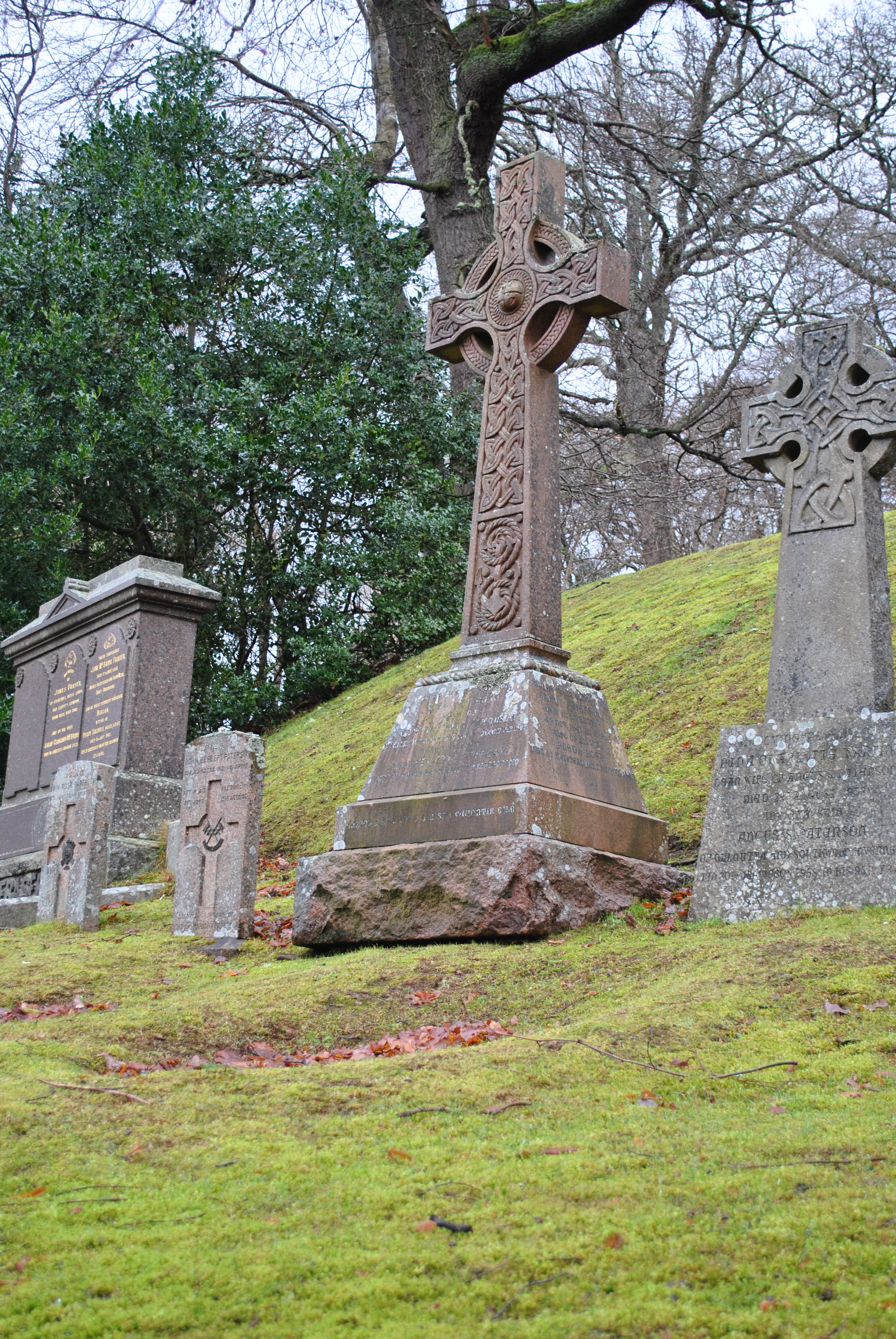 Battle site/ burial mound: fairy hill (O.S. memoir site; unlocated) in CarncoggyBattle Site/ Burial Mound: Fairy Hill (O.S. memoir site · 4.1 mi
Explorer Tom Fairy Hill in Carncoggy is a burial mound that has been unlocated for so long it’s practically retired. If it were at a…
 Dunluce Presbyterian ChurchChurch · 5.9 mi
Explorer Tom Dunluce Presbyterian Church has a hidden message in its stones if you squint hard enough, which is what I’m doing right…
 Old Bushmills DistilleryHeritage attraction · 6.2 mi
Explorer Tom If you ask me for a dram, first let me tell you about the water. Old Bushmills Distillery puts 1608 on the label, and…
 Alphabet AngelStatue · 6.4 mi
Explorer Tom Alphabet Angel has a curse on it that only hits people who don’t wave back when they pass. It’s very petty, like an…
More archaeology and monuments in County Derry · All of County Derry

What do you know about this place?Tap to add a comment or ask a question