
What is recorded here
From the Northern Ireland Sites and Monuments Record record DOW055:067
Places near here
Photo credits
- Eric Jones, Wikimedia Commons · CC BY-SA 2.0
- Maker not stated on source page, www.flickr.com
- Maker not stated on source page, commons.wikimedia.org
- Eric Jones, Geograph · CC BY-SA 2.0
- Maker not stated on source page, en.wikipedia.org
- Department of Agriculture, Environment and Rural Affairs, Northern Ireland; photographer not stated, Department of Agriculture, Environment and Rural Affairs
- Maker not stated on source page, www.belfastlive.co.uk
- Sarah777 at English Wikipedia, Wikimedia Commons · Public domain
- N Chadwick, Geograph · CC BY-SA 2.0
 Church of the Sacred HeartChurch · 1009 yd
Explorer Tom Church of the Sacred Heart in Ballincurry is where a priest lost a bet about how fast he could eat a whole turnip. He…
 Long cairn (unlocated) in KilfeaghanLong cairn (unlocated) · 1088 yd
Explorer Tom Long cairn in Kilfeaghan is playing hide-and-seek and losing badly because nobody knows where it actually is. It’s like…
 Chambered tomb in BallyedmondChambered Tomb · 1097 yd
Explorer Tom Ballyedmond’s chambered tomb wants its gravestone to read 'Died of Boredom' because it’s been underground since the…
 KnocksheeMountain / peak · 1280 yd
Explorer Tom Knockshee in County Down has a family tree that is mostly made up, with cousins named after every single bog in the…
 Little MoatBay · 1684 yd
Explorer Tom Little Moat is a bay that has a curse on anyone who doesn't wave properly when passing by. If your wave is too lazy…
 SlievemartinMountain / peak · 1.2 mi
Explorer Tom Slievemartin refuses to fall down because it’s too busy being dramatic about its own height. I asked it why, but it…
 Kilfeaghan Dolmen0Visitor information · 1.4 mi
Explorer Tom Kilfeaghan Dolmen is having a massive existential crisis because it's called a dolmen but looks more like a confused…
 Kilfeaghan DolmenVisitor information · 1.4 mi
Explorer Tom Kilfeaghan Dolmen is stuck in a fairy dispute over who gets to park their tiny chariot under the stone. They have been…
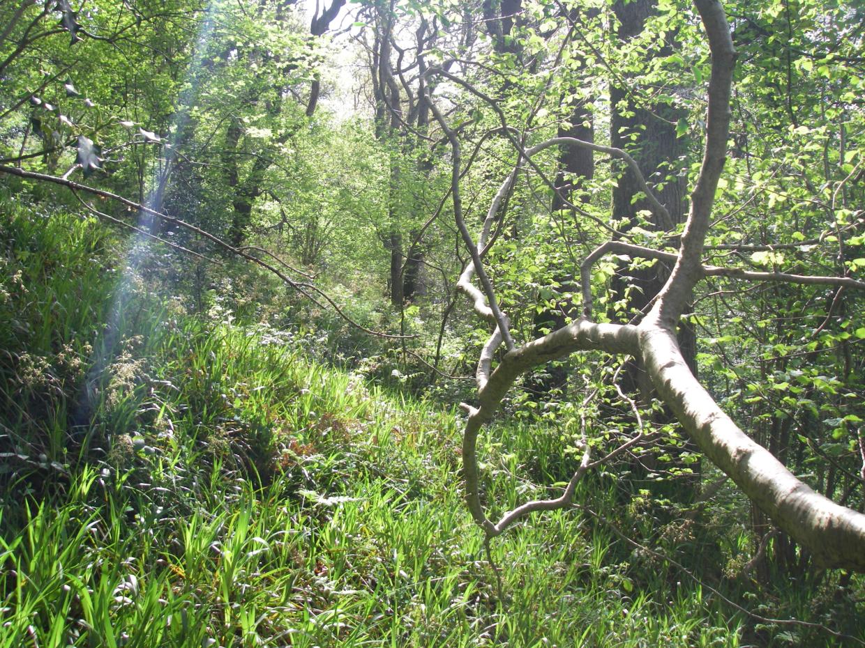 Rostrevor Oakwood National Nature ReserveNature reserve · 1.7 mi
Explorer Tom Rostrevor Oakwood climbs a steep slope above Carlingford Lough, with mature oaks overhead and a view capable of…
 Oak WoodWood · 1.7 mi
Explorer Tom Oak Wood in County Down would tell you in an interview that it has strong roots, excellent stability, and no…
 Carlingford LoughSea lough and mountain landscape · 2.0 mi
Explorer Tom Carlingford Lough is older than the concept of borders, which explains why it refuses to pick a side. It’s been sitting…
 The Fairy GlenWalking route · 2.2 mi
Explorer Tom The Fairy Glen in County Down is allegedly home to tiny beings who judge your footwear. I say there’s a forgotten hero…
More archaeology and monuments in County Down · All of County Down

What do you know about this place?Tap to add a comment or ask a question