What is recorded here
In pasture, on SW-facing slope. Depicted as circular enclosure (diam. c. 40m) on 1842, 1904 and 1938 OS 6-inch maps; inner bank (diam. c. 20m) depicted only on 1904 OS 6-inch map. Recorded in 1965 as circular area (46ft N-S; 46ft E-W) defined by two earthen banks (inner bank: int. H 6ft; outer bank: ext. H 3ft) with intervening fosse (OPW). According to local information, levelled c. 1973. Roughly circular area (27m E-W; 24m N-S) defined by low rise (max. H 0.75m) survives; slight rise c. 5m beyond first may be remains of outer bank. Clearly visible as crop mark in aerial photograph (AP. Dr D.D.C. Pochin Mould).
The above description is derived from the published 'Archaeological Inventory of County Cork. Volume 3: Mid Cork' (Dublin: Stationery Office, 1997). In certain instances the entries have been revised and updated in the light of recent research.
Date of upload/revision: 14 January 2009
Rath Dubh, Rathduff is a circular early-medieval ringfort, likely dating to between the 5th and 10th centuries, characterized by an outer enclosure and a smaller inner bank. Local tradition associates such sites with fairy folk, and they were often avoided due to beliefs in their supernatural inhabitants.
The monument record does not grant public access. Check the route and ask the landowner before entering private land.
- What survives
- Recorded monument
Places near here
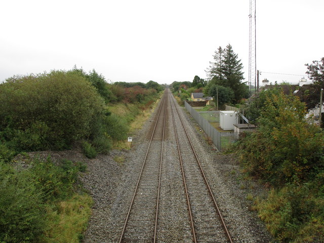 Rathduff Railway Stationrailway station · 94 yd
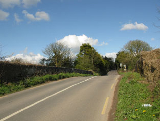 bridgebridge · 236 yd
 EnclosureEnclosure, large enclosure · 1448 yd
 Megalithic tomb in GlancamMegalithic tomb · 1541 yd
 Castle (Site of)Castle, Anglo-Norman masonry castle · 1.7 mi
 Graveyard in KilmonaGraveyard · 1.7 mi
 Pairc Ath Na hEornaMemorial · 1.7 mi
 Rock HillMountain / peak · 2.2 mi
 Lyradane MountainMountain / peak · 2.6 mi
 Garrycloyne Castle (in Ruins)Castle, tower house · 2.9 mi
 St John's WellSpring · 3.3 mi
 BatsVisitor information · 4.6 mi