What is recorded here
Downpatrick’s demesne still holds a buried fort, perhaps a rath or down structure, waiting beneath grass and memory. People may have lived there before written history, shaping soil into defences while storms passed overhead. The land remembers hands even when names are lost.
The official Northern Ireland record identifies this as RATH?: DOWN FORT. Recorded period: E.CHRIST.. The official map point was placed at the centre of the recorded archaeological site from the source map reference.
The monument record does not grant public access. Check the route and ask the landowner before entering private land.
- What survives
- Recorded monument
Places near here
 CASTLE in Demesne OF Down; DownpatrickCASTLE · 813 yd
 Downshire Hospital Highway to HealthWalking route · 828 yd
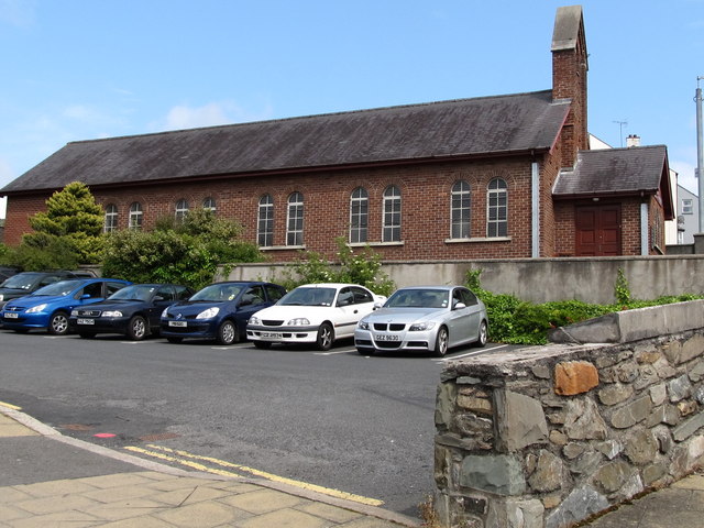 Scotch Street Car ParkVisitor information · 1167 yd
 St. Patricks Visitor CentreMuseum · 1202 yd
 Denvir's HotelHotel · 1211 yd
 TOWER-HOUSE: CASTLE DORRAS; CASTLE DERRAS in Demesne OF Down; DownpatrickTOWER-HOUSE: CASTLE DORRAS; CASTLE DERRAS · 1237 yd
 Church Street Car ParkVisitor information · 1249 yd
 Southwell Charity School And AlmshousesSchool · 1286 yd
 St. Patrick's GraveHeritage attraction · 1326 yd
 DOWNPATRICK TOWN CROSS; BENEDICTINE MONASTERY; MULTIPERIOD CHURCH SITE; PRE-HISTORIC SETTLEMENT SITE; EARTHWORKS & GRAVEYARD: CATHEDRAL HILL in Demesne OF Down; DownpatrickDOWNPATRICK TOWN CROSS; BENEDICTINE MONASTERY; MULTIPERIOD CHURCH SITE; PRE-HISTORIC SETTLEMENT SITE; EARTHWORKS & GRAVEYARD: CATHEDRAL HILL · 1333 yd
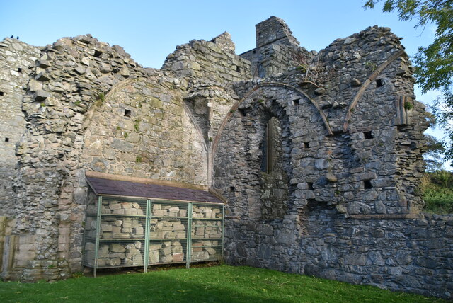 Inch AbbeyArchaeological place · 1.4 mi
 Portulla WoodWood · 1.6 mi