
What is recorded here
Downpatrick castle stood in County Down during the post-medieval and seventeenth centuries, its stones marking a boundary between human ambition and raw earth. Whether it guarded trade, taxed passage or simply declared ownership remains unclear, but its existence shaped the land around it. The castle may have hosted feasts, hearings or quiet conversations where power was negotiated. Its absence now does not erase the shape it cut into the world.
The official Northern Ireland record identifies this as CASTLE. Recorded period: POST-MED; C17TH. The official map point was placed at the centre of the recorded archaeological site from the source map reference.
The monument record does not grant public access. Check the route and ask the landowner before entering private land.
- What survives
- Recorded monument
Places near here
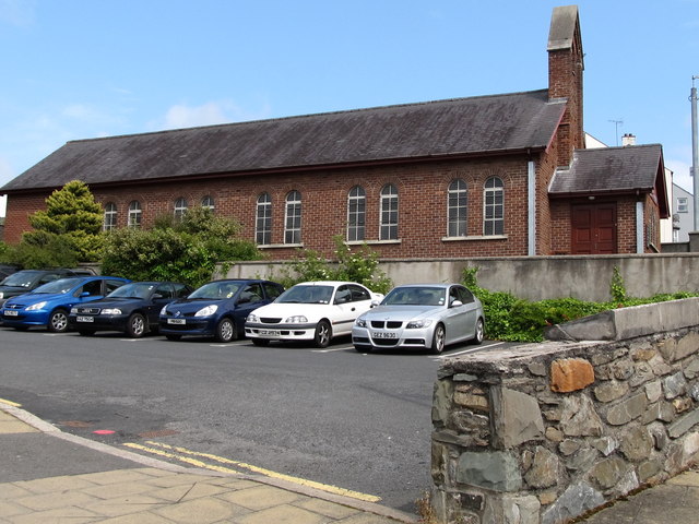 Scotch Street Car ParkVisitor information · 370 yd
 Denvir's HotelHotel · 399 yd
 TOWER-HOUSE: CASTLE DORRAS; CASTLE DERRAS in Demesne OF Down; DownpatrickTOWER-HOUSE: CASTLE DORRAS; CASTLE DERRAS · 425 yd
 St Margaret's Down Parish ChurchVisitor information · 439 yd
 St. Patricks Visitor CentreMuseum · 440 yd
 CHURCH & CASTLE (remains of): ST. MARGARET'S in Demesne OF Down; DownpatrickCHURCH & CASTLE (remains of): ST. MARGARET'S · 483 yd
 Court HouseCourt House · 519 yd
 Down County MuseumMuseum · 583 yd
 DOWNPATRICK TOWN CROSS; BENEDICTINE MONASTERY; MULTIPERIOD CHURCH SITE; PRE-HISTORIC SETTLEMENT SITE; EARTHWORKS & GRAVEYARD: CATHEDRAL HILL in Demesne OF Down; DownpatrickDOWNPATRICK TOWN CROSS; BENEDICTINE MONASTERY; MULTIPERIOD CHURCH SITE; PRE-HISTORIC SETTLEMENT SITE; EARTHWORKS & GRAVEYARD: CATHEDRAL HILL · 596 yd
 Downshire Hospital Highway to HealthWalking route · 1172 yd
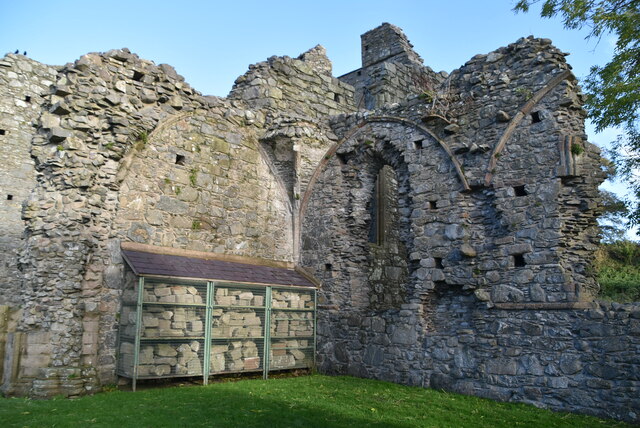 Inch AbbeyArchaeological place · 1709 yd
 Portulla WoodWood · 1.2 mi
Other information
Photo: Credit not shown in the picture search · Rights wording not checked; contact us if this picture should be removed