What is recorded here
A slightly domed, circular area (diam. 26m) is enclosed by a shallow fosse with an external bank. An external fosse immediately outside the bank is visible at the S. A second low, concentric bank lies 32m outside the bank (overall diam. of enclosed area 81m). Visible on aerial photograph (CUCAP BDU 21). Two areas of disturbance, several golf greens, and a rectangular house site with attached haggard, defined by low banks and shallow fosses, occur in the area between the inner and outer banks. (O'Riordáin 1950, 276: Site D1; scaled section NW-SE Plate XXVII)
Compiled by: Gearóid Conroy
Date of upload: 10 June 2011
A Bronze Age ring barrow or rath; its concentric banks and fosse suggest a defensive or ceremonial function. Such earthworks are significant for understanding early settlement and land use in the Curragh region.
The monument record does not grant public access. Check the route and ask the landowner before entering private land.
- What survives
- Recorded monument
Places near here
 Enclosure in Curragh (kildare Ed)Enclosure · 136 yd
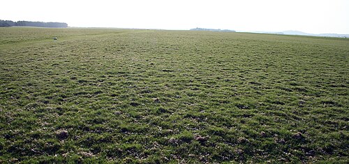 The CurraghEarthwork · 640 yd
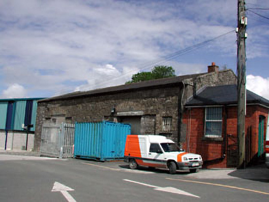 Kildare Railway Stationstore/warehouse · 1628 yd
 The Bungalowhouse · 1.0 mi
 Castle in ruinsCastle, Anglo-Norman masonry castle · 1.2 mi
 CastleCastle, motte · 1.3 mi
 Saint Fiachra's GardenHeritage attraction · 1.8 mi
 Bee-bee treeBee-bee tree · 1.8 mi
 Horse MuseumMuseum · 1.9 mi
 Dawn RedwoodDawn Redwood · 1.9 mi
 Bithia Mary CrokerMemorial · 5.5 mi
 Grand Canal WayVisitor information · 7.5 mi