What is recorded here
Cluntagh Fort stands in County Down as a rath from the early Christian period, its earthworks still tracing the shape of hands long gone. The official record names it plainly, but the land remembers more than bureaucracy captures. Perhaps it was a stronghold for a local chieftain, a refuge during raids, or a marker of territorial pride. The grass grows thick over its ridges now, yet the fort endures as a quiet witness to the lives that shaped it.
The official Northern Ireland record identifies this as RATH: CLUNTAGH FORT. Recorded period: E.CHRIST.. The official map point was placed at the centre of the recorded archaeological site from the source map reference.
The monument record does not grant public access. Check the route and ask the landowner before entering private land.
- What survives
- Recorded monument
Places near here
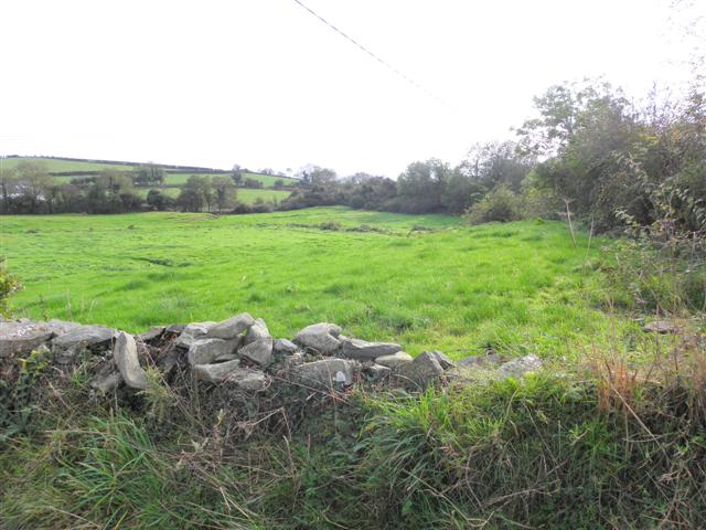 Wallace HillMountain / peak · 1578 yd
 ENCLOSURE in BallywillinENCLOSURE · 1.1 mi
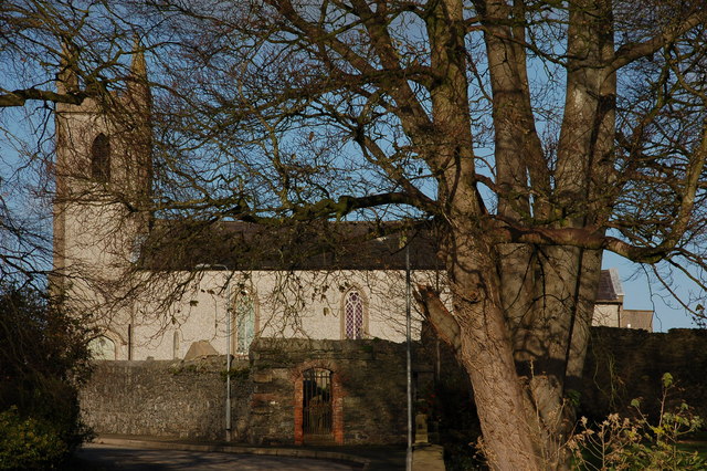 CHURCH (site of) in Killinchy In THE WoodsCHURCH (site of) · 1.8 mi
 Former market houseOffice · 1.9 mi
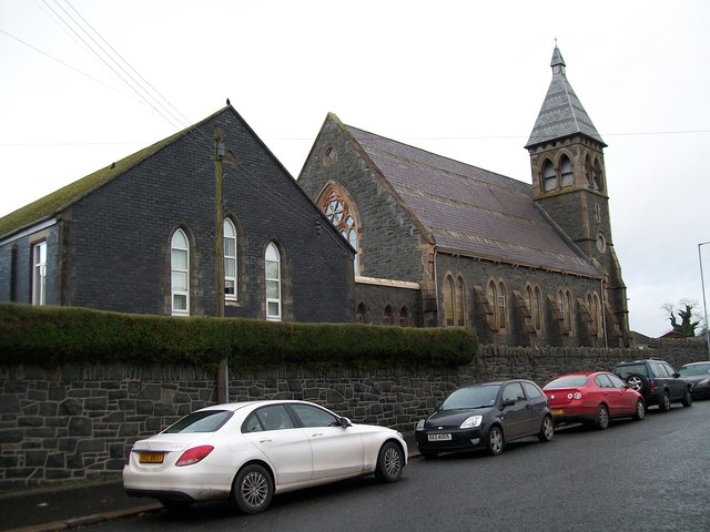 The Square Car ParkVisitor information · 1.9 mi
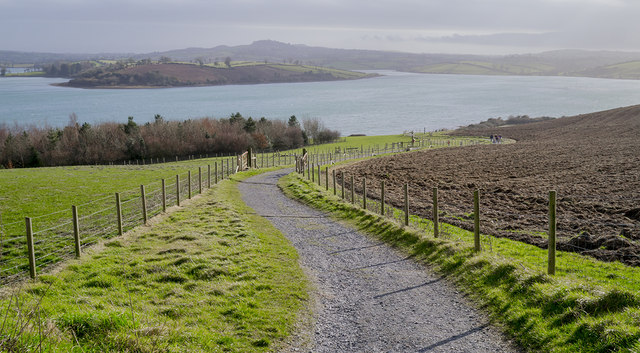 Delamont Country ParkVisitor information · 2.0 mi
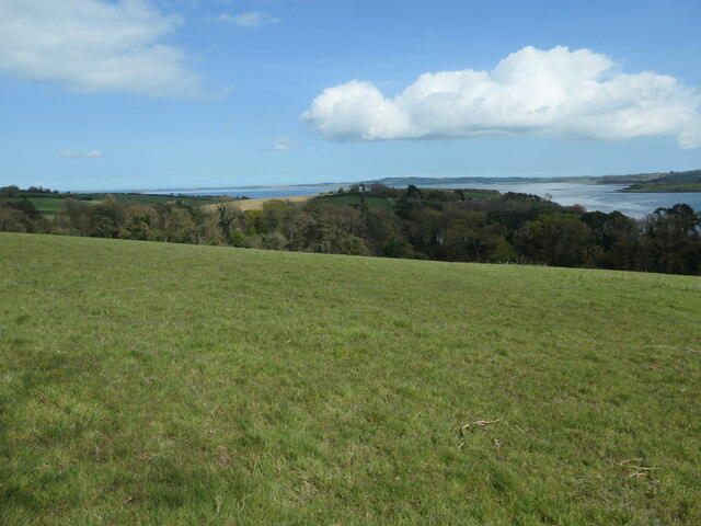 Nut WoodWood · 2.0 mi
 Strangford WalkWalking route · 2.0 mi
 CASTLE: CASTLE WILLIAM in CorporationCASTLE: CASTLE WILLIAM · 2.1 mi
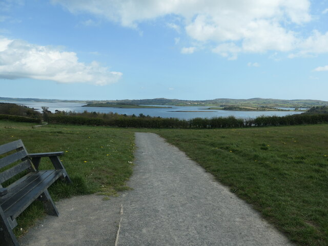 Kinneagar WoodWood · 2.1 mi
 First Presbyterian ChurchChurch · 2.3 mi
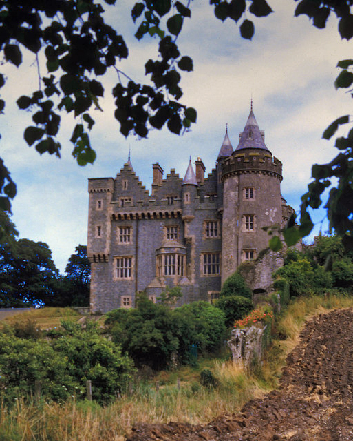 KILLYLEAGH CASTLEKILLYLEAGH CASTLE, multiperiod castle on site of Motte · 2.3 mi