What is recorded here
Map note: In County Mayo, Ireland, the map records Rath beg as an ancient site. There is no need to invent a lost kingdom to make the name interesting.
Rath beg is recorded as an archaeological place in County Mayo.
From OpenStreetMap (© OpenStreetMap contributors) w1282624399
Places near here
Photo credits
- National Inventory of Architectural Heritage
- Pamela Norrington, Geograph · CC BY-SA 2.0
- Liz McCabe, Wikimedia Commons · CC BY-SA 2.0
- Neville Goodman, Geograph · Creative Commons Attribution-ShareAlike 2.0
- jeremy durrance, Geograph · Creative Commons Attribution-ShareAlike 2.0
- Ray Martin, Wikimedia Commons · Public domain
- Mike Searle, Wikimedia Commons · CC BY-SA 2.0
- Colin Park, Geograph · CC BY-SA 2.0
- Phil Armitage, Wikimedia Commons · Public domain
Grave of the KingsArchaeological place · 1.3 mi Catholic Church of Our LadyChurch/chapel · 1.8 miRosevaleFarm house · 3.3 miTitanic Memorial ParkMemorial · 4.3 miNephinMountain / peak · 4.6 miGraveyard5.0 miIndicatedFairy fort / earthen ringfort · 5.6 miCastleCastle, tower house · 6.0 miDeel CastleCastle · 6.1 miKnockaffertaghMountain / peak · 6.9 miWild Nephin National ParkNature reserve · 9.7 miLetterkeen LoopWalking route · 9.8 mi
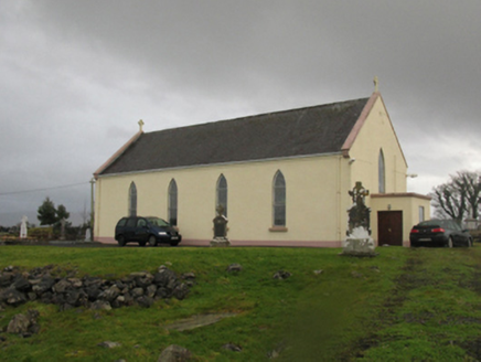 Catholic Church of Our LadyChurch/chapel · 1.8 mi
Explorer Tom Catholic Church of Our Lady in Kilmurry More is telling a ridiculous smuggling story about cheese hidden inside the altar during Sunday services. Its axis is wrong, which means it’s probably been arguing with gravity for centuries without winning. Perfect spot to practise your whispering game.
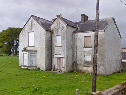 RosevaleFarm house · 3.3 mi
 Titanic Memorial ParkMemorial · 4.3 mi
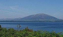 NephinMountain / peak · 4.6 mi
 Graveyard5.0 mi
 IndicatedFairy fort / earthen ringfort · 5.6 mi
 CastleCastle, tower house · 6.0 mi
 Deel CastleCastle · 6.1 mi
 KnockaffertaghMountain / peak · 6.9 mi
 Wild Nephin National ParkNature reserve · 9.7 mi
 Letterkeen LoopWalking route · 9.8 mi
More archaeology and monuments in County Mayo · All of County Mayo

What do you know about this place?Tap to add a comment or ask a question