What is recorded here
A promontory c. 34m wide × c. 130m long is defined at its eastern end by three earthen banks with two intervening fosses. These are roughly bisected by gaps in the banks and raised areas across the line of the fosses. The internal bank, which is by far the most substantial of the three, survives up to 3.6m in height on the interior. The promontory is surrounded by a wave-cut, rock platform covered at high tide. The promontory consists of a deep cover of soil on schist. The rock is constantly being eroded. The surrounding land is fairly good. The above description was derived from the 'Archaeological Survey of County Donegal. A description of the field antiquities of the County from the Mesolithic Period to the 17th century.' Compiled by: Brian Lacey with Eamon Cody, Claire Cotter, Judy Cuppage, Noel Dunne, Vincent Hurley, Celie O'Rahilly, Paul Walsh and Seán Ó Nualláin (Lifford: Donegal County Council, 1983).
A promontory c. 34m wide × c. 130m long is defined at its eastern end by three earthen banks with two intervening fosses. These are roughly bisected by gaps in the banks and raised areas across the line of the fosses. The internal bank, which is by far the most substantial of the three, survives up to 3.6m in height on the interior. The promontory is surrounded by a wave-cut, rock platform covered at high tide.…
From the National Monuments Service (Archaeological Survey of Ireland) record DG098-034
The monument record does not grant public access. Check the route and ask the landowner before entering private land.
- What survives
- Recorded monument
Places near here
Photo credits
- louise price, Geograph · CC BY-SA 2.0
- National Inventory of Architectural Heritage
- EecherplazGinkgo06.jpg : Cayambe derivative work: Ginkgotree ( talk ), Wikimedia Commons · CC BY-SA 3.0
- Kenneth Allen, Wikimedia Commons · CC BY-SA 2.0
- C Michael Hogan, Wikimedia Commons · CC BY-SA 2.0
- Ronnie Nijboer, Wikimedia Commons · CC0
- Dean Molyneaux, Geograph · CC BY-SA 2.0
- louise price, Wikimedia Commons · CC BY-SA 2.0
- Jonathan Wilkins, Wikimedia Commons · CC BY-SA 2.0
 White HillMountain / peak · 1148 yd
 kiln2.7 mi
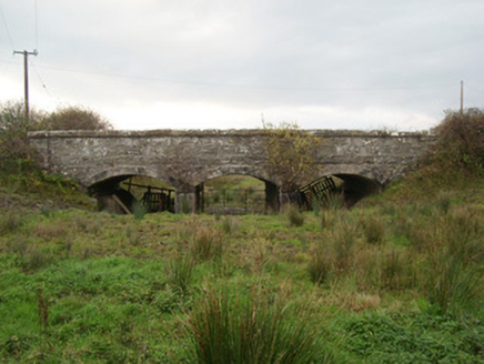 bridge2.8 mi
 Ginkgo3.3 mi
 Killaghtee Old Church GraveyardGraveyard · 3.8 mi
 Cashel Town Wedge TombsWedge tomb · 3.9 mi
 Wych Elm4.3 mi
 RossnowlaghOfficial bathing water · 4.7 mi
 Kilbarron Castle in ruinsCastle, tower house · 5.0 mi
 Dark Cliffs at KilbarronPublicly named cliff or headland · 5.1 mi
 Kilbarron Old Church GraveyardGraveyard · 5.4 mi
 Sheebarran RingfortFairy fort / earthen ringfort · 6.4 mi
More archaeology and monuments in County Donegal · All of County Donegal
What do you know about this place?