
What is recorded here
Triple-arch bridge carrying road over the Leanne River, built c. 1860 and widened c. 1900, having V-profile cut stone cutwaters to piers to both the upstream (west) and downstream (east) elevations. Possibly containing fabric of earlier bridge (s) to site (previous bridge built in 1794). Widened to the west side c. 1900. Segmental-headed arches having roughly dressed stone voussoirs; coursed stone construction to arch barrels. Rubble stone construction to piers, abutments, and spandrels. Rubble stone parapets with rubble stone\field stone coping to the east parapet, and cement rendered coping to the west parapet. Modern water pipe attached to the west elevation. Tarmacadam deck with footpaths to either side. Located to the west end of the Mall, Ramelton, and to the west of the centre of the town.
This appealing and elegant triple-arched road bridge retains much its early character and form, and is an appealing feature in streetscape to the west of the centre of Ramelton. This bridge is robustly-constructed in local coursed rubble stone masonry, and its continued survival and use stands as testament to the quality of its original construction, and of the skill of the masons involved. The use of narrow rubble stone masonry for the voussoirs to the arches, and the field stone coping over the east parapet, creates an appealing, almost rustic appearance that contrasts with the generally formal architecture of the buildings aligning the adjacent The Mall. The narrow piers with cut stone cutwaters add to its charm. This bridge was apparently rebuilt c. 1860 and later widen considerably to the west side. The form and the appearance of the bridge suggests it is earlier, perhaps dating to the first half of the century although a bridge with pedestrian refuges and irregular profile is depicted on both the Ordnance Survey map of c. 1836 and the Griffith’s Valuation map of c. 1860 (There appears to be a bridge marked at this location on Moll’s map of 1714). It is likely that there was a bridge at this location since the establishment of the town at the start of the seventeenth century by Sir William Stewart so it is possible that the present edifice contains earlier fabric. This appealing bridge is a landmark feature on the streetscape of Ramelton, and is an integral element of the built heritage and transport heritage of the local area.
This does not grant access. Most recorded buildings are privately owned; view them only from public ground unless the owner allows entry.
Places near here
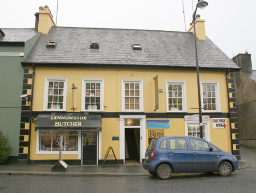 Lennonside Butchers\Bridge Laundrette and Cleanershouse · 49 yd
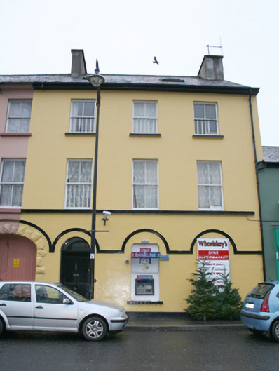 Whoriskey's Spar Supermarkethouse · 78 yd
 European BeechEuropean Beech · 295 yd
 Tullyaughnish Old Church GraveyardGraveyard · 435 yd
 Bawn in RathmeltonBawn · 640 yd
 Drummonaghan WoodForest recreation place · 868 yd
 Ardnaree Raised Fairy FortFairy fort / earthen ringfort · 1.8 mi
 Carnhill Stone Ringfort near the Ruined ChurchFairy fort / stone ringfort · 1.9 mi
 Fort Stewart in RuinsBawn · 3.2 mi
 Mullanadee ShoreBeach / strand · 5.2 mi
 Croaghan HillMountain / peak · 5.5 mi
 RathmullanOfficial bathing water · 6.4 mi
Other information
Photo: Kenneth Allen · Creative Commons Attribution-ShareAlike 2.0