What is recorded here
Half-buried under pasture and time, the oval ring still marks the slope where Hachured and the fairies met. The road cuts through its southern edge like a knife through a ribbon, yet the bank holds its shape in shadow and grass. What was built there, who lived or played inside, has slipped into the soil and the stories told beside it.
In improved pasture, on a W-facing slope, abutting a townland boundary with Tullabeg to S. Annotated ‘Raheennagaurlagh’ on the 1840 ed. OS 6-inch map and depicted as a circular-shaped enclosure intersected at S by a public road running E-W. Monument surveyed by the ASI in 2008 and described as an oval-shaped area (20m E-W; 13m N-S) defined by a levelled bank (Wth 4.7m; int. H 0.05; ext. H 0.35m) from SW-W-NW and from NE–ENE-E, which is reduced to scarp from SE-SSE-S. Monument is visible as a faint oval-shaped cropmark on OSi orthoimage taken 2005-2012 and on Google Earth orthoimage taken 28/06/2018.
See attached Google Earth orthoimage 28/06/2018 and a sketch plan which was measured and drawn by the ASI in 2008.
Compiled by: Alison McQueen and Vera Rahilly
Date of upload: 26 September 2020
The monument record does not grant public access. Check the route and ask the landowner before entering private land.
- What survives
- Recorded monument
Places near here
 ToberagaddySpring · 462 yd
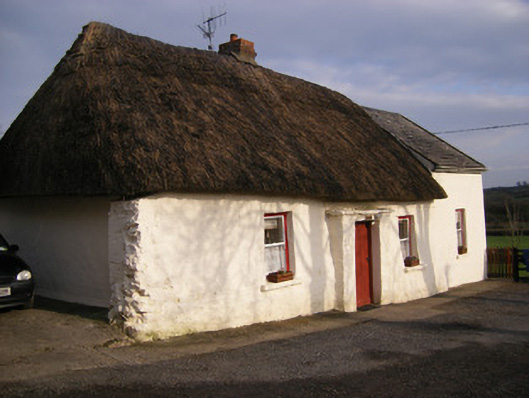 Highstreethouse · 614 yd
 Kilduff CastleCastle · 656 yd
 Kilduff Castle (in ruins)Castle, tower house · 658 yd
 EnclosureEnclosure, large enclosure · 700 yd
 RathbaunArchaeological place · 738 yd
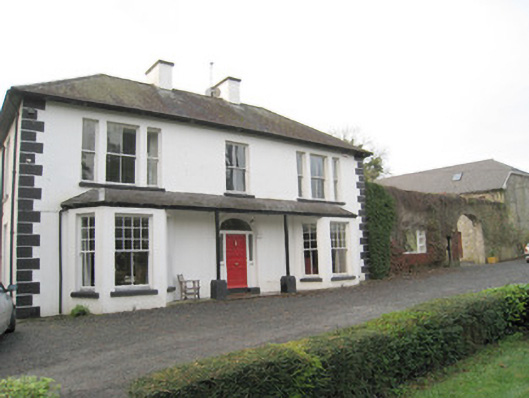 Mount Catherinehouse · 742 yd
 KnockseefinMountain / peak · 1.6 mi
 Oola HillMountain / peak · 3.8 mi
 St. Patrick's WellSpring · 3.9 mi
 Graveyard in AbingtonGraveyard · 6.4 mi
 Flat cemetery in Knockainy WestFlat cemetery · 8.2 mi