
Places near here
Photo credits
- National Inventory of Architectural Heritage
- Joe Cantwell, Wikimedia Commons
- Killala GAA Club, via Connaught Telegraph; individual photographer not named, www.con-telegraph.ie
- Ardfern, wikimedia
- Bing image result, image search
- Colin Park, Geograph · CC BY-SA 2.0
- Ireland’s National Parks project; photographer not stated, Ireland’s National Parks project
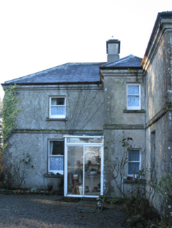 Carn HouseFarm house · 1.0 mi
Explorer Tom Carn House in Mayo gave up chocolate for Lent but kept the turret breakfront. It was built for a James Hunter Massey…
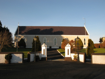 Catholic Church of the Sacred HeartChurch/chapel · 1.2 mi
Explorer Tom Catholic Church of the Sacred Heart in Kincon reviews its visitors like a strict aunt. It thinks your outfit lacks…
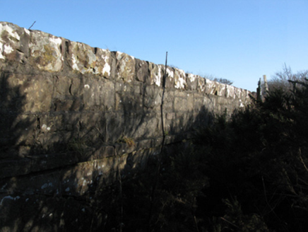 bridge1.4 mi
Explorer Tom Bridge in Billoos is being judged by the local sheep who think its limestone dressings are too fancy for them. It…
 Farmhill HouseWalled garden · 1.6 mi
Explorer Tom Farmhill House is just a walled garden now because the house got demolished in 1950. Harriet Gardiner lived there, and…
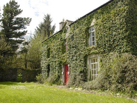 Smithstown HouseFarm house · 1.7 mi
Explorer Tom Smithstown House would tell its younger self to stop worrying about the limestone and start enjoying the sunsets. It…
 Kilfian, Kilfian GAAGAA ground · 2.5 mi
 Gerry Maheady Memorial Park, Killala GAAGAA ground · 3.1 mi
 Ballinglen BridgeBridge · 3.3 mi
Explorer Tom Ballinglen Bridge is narrow and rock-faced, with an elegant sweep over the river that makes it look like it was…
 Lacken, Lacken Sarsfields GAAGAA ground · 4.2 miFr Gilroy Memorial Park, Moygownagh GAAGAA ground · 4.3 mi
 KnockaffertaghMountain / peak · 18 mi
Explorer Tom Knockaffertagh’s least favourite visitor is definitely anyone who suggests taking a selfie on top because it ruins the…
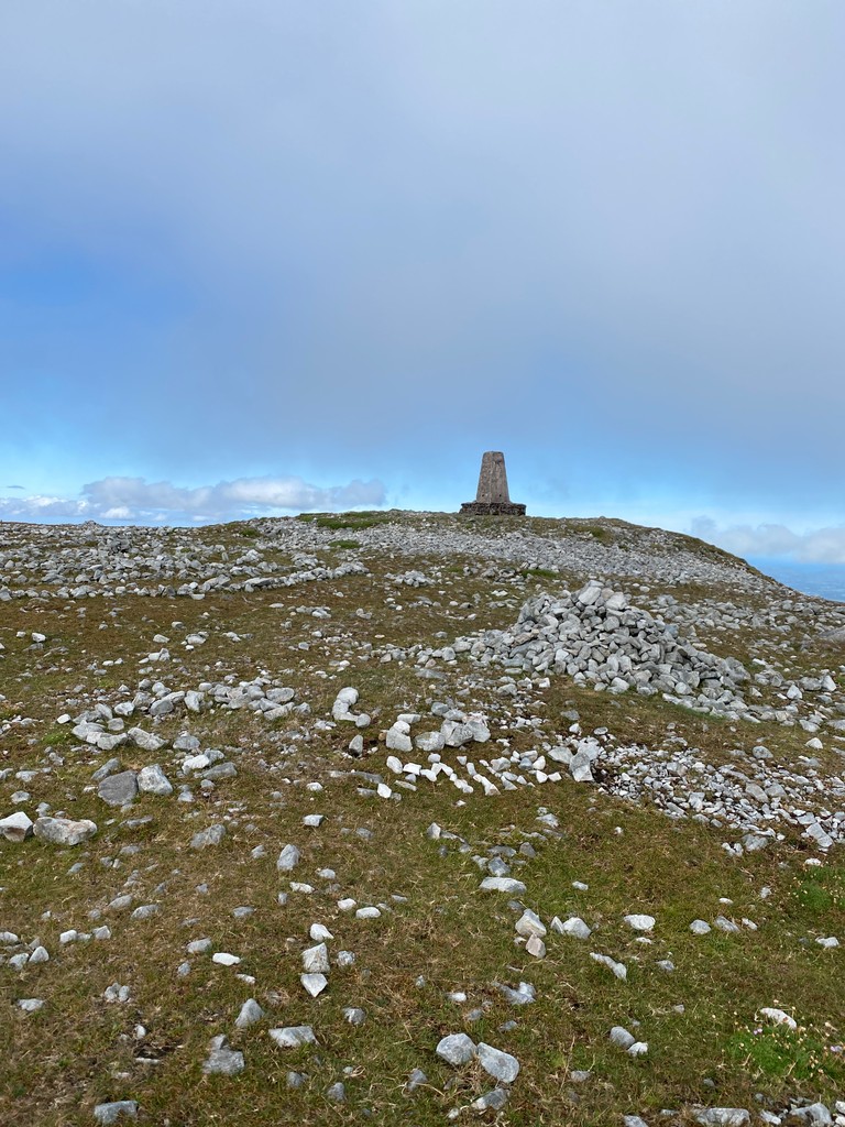 Slieve CarrMountain / peak · 18 mi
Explorer Tom Slieve Carr sits deep in County Mayo's Wild Nephin country, where mountains go looking for quiet. At 721 metres it is…
More archaeology and monuments in County Mayo · All of County Mayo

What do you know about this place?Tap to add a comment or ask a question