What is recorded here
On the N-facing slope of a hillock in pastureland. This roughly oval rath (34m E-W; 25m N-S), in
fair condition, is defined by a bank and external fosse; the latter survives from W to NW. A gap (Wth 3m) at E may be original. (Holt 1912, 229; McCaffrey 1952, 132, no. 25)
Compiled by: Galway Archaeological Survey, UCG
Date of upload: 22 December 2017
The monument record does not grant public access. Check the route and ask the landowner before entering private land.
- What survives
- Recorded monument
Places near here
 CastleCastle, unclassified · 249 yd
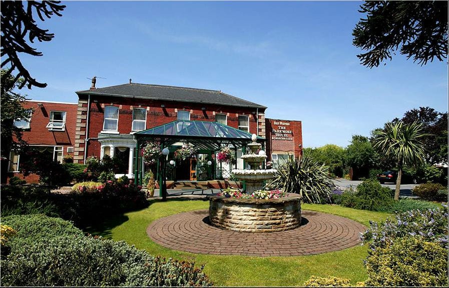 ParkmoreFairy fort / earthen ringfort · 577 yd
 IndicatedHoly well · 609 yd
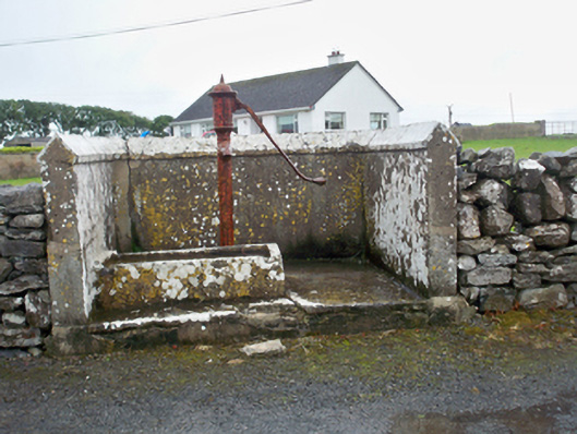 water pumpwater pump · 1357 yd
 Mary Kate'shouse · 1574 yd
 Ballynacourty Court (in ruins)Castle, hall-house · 1.0 mi
 Plumbtree FortArchaeological place · 1.3 mi
 South WoodWood · 1.8 mi
 MweenisharanIslet · 1.8 mi
 Mweenish PointHeadland · 1.9 mi
 Mweenish IslandIslet · 2.2 mi
 Leadmine HillMountain / peak · 2.4 mi