
What is recorded here
On a N-facing slope in undulating grassland. This natural spring well is defined by a D-shaped drystone-built chamber (0.75m N-S; 0.7m E-W) which is set 4.5m below ground level. On inspection, the well (D 1m) was accessed from a stile on the roadside, via a series of stone steps running E-W for 3.75m then turning at a right angle down a sloping drystone-built passage (6m N-S) with a lintelled roof. The entrance to the passage was covered by a large limestone capstone (L 1.2m; Wth 1m). Some coins found on the step nearest to the water were the only evidence to suggest that this is a holy well.
Compiled by: Galway Archaeological Survey, UCG
Date of upload: 19 December 2017. Revised: 28 March 2023
Linked to Saint Gobnait, the well is traditionally associated with cures for eye ailments and was historically visited during May Eve rituals. The site's subterranean construction and drystone chamber suggest a long-standing sacred use, blending Christian and pre-Christian elements.
The monument record does not grant public access. Check the route and ask the landowner before entering private land.
- What survives
- Recorded monument
Places near here
 RaheenFairy fort / earthen ringfort · 222 yd
 CastleCastle, unclassified · 371 yd
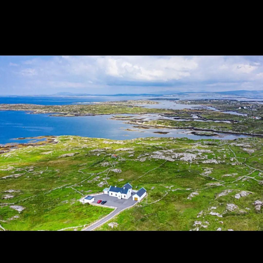 Enclosure in AhapouleenEnclosure · 663 yd
 RoadRoad, road/trackway · 1367 yd
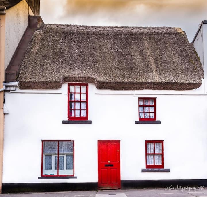 Stafort HouseRuins · 1705 yd
 Plumbtree FortArchaeological place · 1727 yd
 Ballynacourty Court (in ruins)Castle, hall-house · 1.1 mi
 South WoodWood · 1.5 mi
 Mweenish PointHeadland · 1.9 mi
 MweenisharanIslet · 2.0 mi
 Leadmine HillMountain / peak · 2.1 mi
 Mweenish IslandIslet · 2.1 mi
Other information
Photo: Credit not shown in the picture search · Rights wording not checked; contact us if this picture should be removed