
What is recorded here
Enclosure or possible remains of ringfort (max. int. diam. NE-SW c. 43m) situated on W end of a large flat ridge and defined in part only from SW to NNE. Quarried at W and levelled from SE to SW. (ITA Survey 1942).
The above description is derived from the published 'Archaeological Inventory of County Offaly' (Dublin: Stationery Office, 1997). In certain instances the entries have been revised and updated in the light of recent research.
Date of upload: 23 May 2011
The monument record does not grant public access. Check the route and ask the landowner before entering private land.
- What survives
- Recorded monument
Places near here
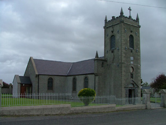 Catholic Church of Saint Peter and Saint Paulchurch/chapel · 760 yd
 Enclosure in BarnanEnclosure · 959 yd
 Partially hachuredBawn · 1458 yd
 BarrowBarrow, bowl-barrow · 1631 yd
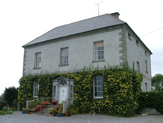 Kilduff Housecountry house · 1681 yd
 Kill Castle (ruins)Castle, tower house · 1718 yd
 Saint Clavin's WellSpring · 1.2 mi
 Cruil HillMountain / peak · 1.3 mi
 Lackan HillMountain / peak · 1.7 mi
 Finnrenashark Holy WellSpring · 2.4 mi
 Croghan Hill WalkVisitor information · 2.5 mi
 Croghan HillMountain / peak · 2.7 mi
Other information
Photo: Credit not shown in the picture search · Rights wording not checked; contact us if this picture should be removed