What is recorded here
Situated at the SE summit of what was a small NW-SE ridge (L c. 150m) but this end of the hill has been quarried and is now a grass-covered hollow on a gentle SE-facing slope. An embanked earthwork enclosure (ext. dims c. 50m NE-SW; c. 45m NW-SE) annotated as a ‘Fort’ is depicted at the S end of a small NW-SE ridge on the 1836 edition of the OS 6-inch map, and it is annotated as ‘Rahards Fort’ on the 1908 edition. Although this monument has been quarried some of the perimeter might survive around the edge covered in spoil.
The above description is derived from the published 'Archaeological Inventory of County Meath' (Dublin: Stationery Office, 1987). In certain instances the entries have been revised and updated in the light of recent research.
Compiled by: Michael Moore
Date of upload: 10 July 2007
Amended: 2 August 2022
The monument record does not grant public access. Check the route and ask the landowner before entering private land.
- What survives
- Recorded monument
Places near here
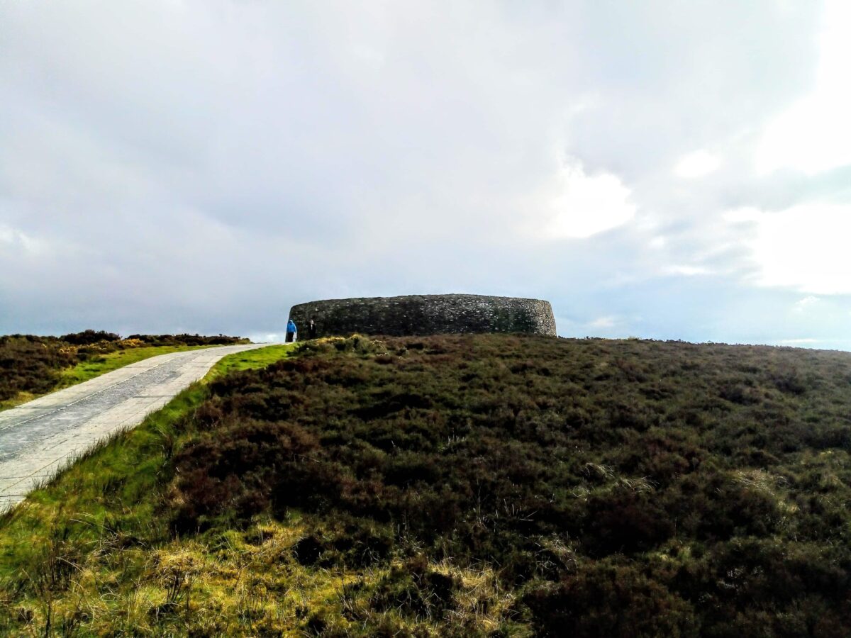 Rahards FortArchaeological place · 35 yd
 Castletown TrailMemorial · 269 yd
 Fox CovertWood · 481 yd
 MoatCastle, motte · 533 yd
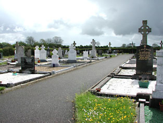 Castletown New Cemeterygraveyard/cemetery · 571 yd
 Castletown FortCastle, motte and bailey · 1248 yd
 Enclosure in LeggaghEnclosure · 1.1 mi
 Little Decoy WoodWood · 1.6 mi
 HeadstownMountain / peak · 1.7 mi
 Ugly HillMountain / peak · 2.5 mi
 Nobber GreenwayMemorial · 3.4 mi
 Owenroe and Moynalty DrainageMemorial · 3.8 mi