What is recorded here
One chapel in Ballymartin survives only as a room with no roof, yet its walls still hold a altar step and a doorway cut for worship. The missing ceiling may have fallen during storm, neglect or deliberate clearance, but the chamber never stopped being a chapel because its shape still points upward. People can stand inside the ruin, touch the surviving stone and imagine the lost roof spanning overhead. What is absent becomes visible when the remaining walls refuse to stop forming a sacred space.
The following description is derived from both the published 'Archaeological Inventory of County Louth' (Dublin: Stationery Office, 1986) and the 'Archaeological Survey of County Louth' (Dublin: Stationery Office, 1991). In certain instances the entries have been revised and updated in the light of recent research.
Date of revision: 25 May 2012
Three holy water stoups (see also LH013-012002- and LH013-012003-), in or beside St Malachy's Roman Catholic church, are referred to by Davies (CLAJ 1943, 208) as medieval fonts and were included as such in the Archaeological Inventory of County Louth. The type of dressing on the stone of all three stoups and the human face on the one inside the church would suggest a post-medieval date, possibly the eighteenth century.
The monument record does not grant public access. Check the route and ask the landowner before entering private land.
- What survives
- Recorded monument
Places near here
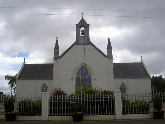 Saint Malachy's Catholic Churchchurch/chapel · 5 yd
 CastleCastle, unclassified · 542 yd
 Liscalga FortArchaeological place · 781 yd
 LiscalgaFairy fort / earthen ringfort · 790 yd
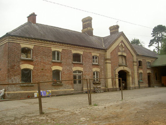 Cardistown Housefarmyard complex · 1729 yd
 Site of Cookstown CastleCastle, unclassified · 1.8 mi
 TuliptreeTuliptree · 1.8 mi
 European YewEuropean Yew · 1.8 mi
 Flat cemetery in AnnaheanFlat cemetery · 2.0 mi
 Matthew's HillMountain / peak · 2.8 mi
 Yellow HillMountain / peak · 3.8 mi
 Sir Frederick Foster MemorialMemorial · 4.5 mi