
What is recorded here
Indicated as a cruciform structure and named 'R.C. Chapel' only on the 1842 OS 6-inch map. There were no visible remains of this church in 1982. Hartnett (1939, 115) noted that while 'no vestige of masonry' survives 'a raised platform 30 by 20 yards [c. 27m by 18m] and 1 to 2 feet [0.3-0.6m] above the adjacent ground level marks the spot'. Hartnett also records that he was informed locally that this is believed to be the old parish church of Aglish and that the ground has never been tilled (ibid.).
The above description is derived from 'The Archaeological Inventory of County Cork. Volume 5' (Dublin: Stationery Office, 2009).
Date of upload: 22 December 2009
The monument record does not grant public access. Check the route and ask the landowner before entering private land.
- What survives
- Recorded monument
Places near here
 Farran Roman Catholic Churchchurch/chapel · 375 yd
 Fulacht FiadhFulacht fia · 819 yd
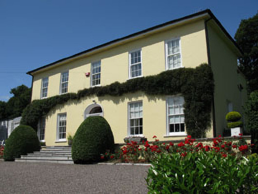 Rosemountcountry house · 969 yd
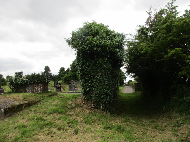 Grave YardGraveyard · 1733 yd
 Farran WoodWood · 1.1 mi
 Kilcrea CastleWood · 1.3 mi
 Kilcrea Castle (in Ruins)Castle, tower house · 1.3 mi
 Coachford Greenway (End)Visitor information · 1.4 mi
 Old Mansion HoCastle, Anglo-Norman masonry castle · 1.6 mi
 Sunday's WellSpring · 2.4 mi
 Bob AdamsMemorial · 3.0 mi
 Iniscarra Dam ViewViewpoint · 3.4 mi
Other information
Photo: Credit not shown in the picture search · Rights wording not checked; contact us if this picture should be removed