
What is recorded here
Marked as a ruined T-shaped structure and described in gothic lettering as 'R C chapel' on the 1837 ed. of the OS 6-inch map. It is situated on a level landscape with a N-S ridge rising to the W. This is the site of the Roman Catholic church of Curraghroe, which was used before the present church of St Cecilia was dedicated in 1831 (Beirne 2000, 268). No trace of the older structure survives.
Compiled by: Michael Moore
Date of upload: 24 August 2010
A local church or high cross; wider significance not recorded.
The monument record does not grant public access. Check the route and ask the landowner before entering private land.
- What survives
- Recorded monument
Places near here
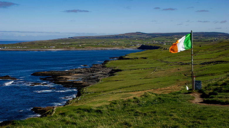 IndicatedFairy fort / earthen ringfort · 1198 yd
 Doughill ForestForest · 1.5 mi
 Slieve BawnMountain / peak · 1.7 mi
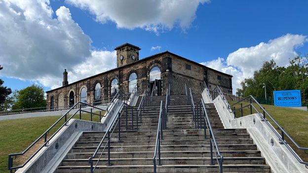 Embanked enclosureFairy fort / earthen ringfort · 1.7 mi
 Penitential station in GortlustiaPenitential station · 2.4 mi
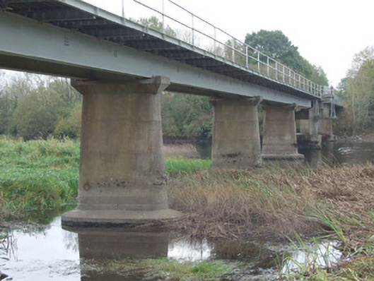 bridgebridge · 2.7 mi
 CastleCastle, unclassified · 3.0 mi
 Strokestown ParkHeritage attraction · 4.1 mi
 Strokestown House GardensHeritage attraction · 4.2 mi
 Commons North WalkVisitor information · 4.3 mi
 Common LimeCommon Lime · 4.3 mi
 Wild birdsVisitor information · 4.5 mi
Other information
Photo: Credit not shown in the picture search · Rights wording not checked; contact us if this picture should be removed