
What is recorded here
On a hummock in gently undulating grassland. Shown on the 1838 edition of the OS 6-inch map as an L-shaped building that was aligned N-S, with the shorter leg extending westwards off the S end, and named 'R.C. Chapel & Altar'. All that survives is a shallow rectangular hollow (13m E-W, 8m N-S), along the W side of which a short stretch of wall (L >3m, H 0.5m), constructed of small irregularly cut stones, could possibly be the last vestiges of the chapel. According to the landowner this was a penal chapel. No visible surface trace of the altar (GA107-176001-) survives.
Compiled by: Olive Alcock
Date of upload: 3 April 2020
The monument record does not grant public access. Check the route and ask the landowner before entering private land.
- What survives
- Recorded monument
Places near here
 Enclosure in SkecoorEnclosure · 480 yd
 site of R.C. ChapelChapel · 947 yd
 Skycur Househouse · 968 yd
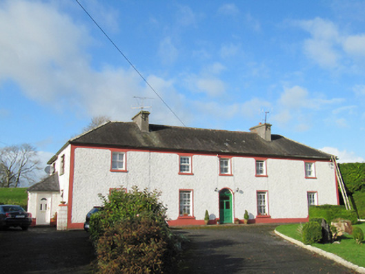 Raheen Househouse · 1607 yd
 MoatCastle, motte and bailey · 1.9 mi
 European YewEuropean Yew · 2.0 mi
 European BeechEuropean Beech · 2.3 mi
 Ballymore CastleCastle, tower house · 3.0 mi
 Redmond HillMountain / peak · 4.5 mi
 The bloody HollowHeritage attraction · 5.6 mi
 Urraghry HillMountain / peak · 5.8 mi
 Battle of AughrimMajor battlefield · 5.8 mi
Other information
Photo: Credit not shown in the picture search · Rights wording not checked; contact us if this picture should be removed