
What is recorded here
No visible stone or foundation remains inside the trapezoidal fort in County Galway, yet the 1838 map still points to the lost chapel within that grassy ring. The building vanished before the 1912 survey, leaving only a symbol and a memory suspended above the eastern marsh. Whatever prayers echoed there were absorbed by the wind and water, erasing the wall but not the shape of the place.
In undulating grassland overlooking marshy land to the E. On the 1838 edition of the OS 6-inch map, the following is appended to a hachured, roughly trapezoidal-shaped, enclosure named 'fort' in Gothic script: 'site of R.C. Chapel'; the latter is written in Roman script. On the OS 1:2500 plan (surveyed 1912-16) the 'Site of' symbol for the 'R.C Chapel' is shown within the interior of the enclosure. No visible surface trace of it survives.
Compiled by: Olive Alcock
Date of upload: 3 April 2020
The monument record does not grant public access. Check the route and ask the landowner before entering private land.
- What survives
- Recorded monument
Places near here
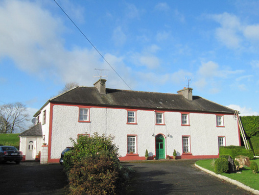 Raheen Househouse · 664 yd
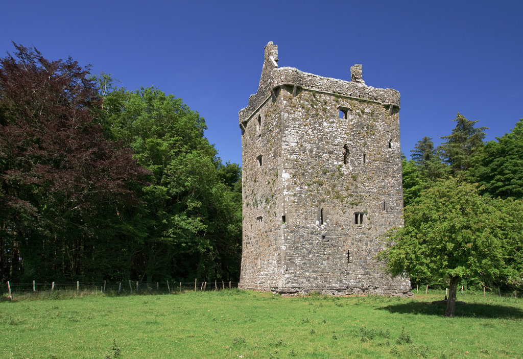 Lissatogher FortsFairy fort / earthen ringfort · 778 yd
 Skycur Househouse · 924 yd
 Enclosure in SkecoorEnclosure · 1021 yd
 European YewEuropean Yew · 2.4 mi
 MoatCastle, motte and bailey · 2.5 mi
 European BeechEuropean Beech · 2.7 mi
 Ballymore CastleCastle, tower house · 2.8 mi
 Redmond HillMountain / peak · 4.1 mi
 The bloody HollowHeritage attraction · 6.1 mi
 Ballymacegan IslandIsland · 6.1 mi
 Urraghry HillMountain / peak · 6.3 mi
Other information
Photo: Credit not shown in the picture search · Rights wording not checked; contact us if this picture should be removed