What is recorded here
Depicted on 1839 OS '6-inch map'. On low prominent N-S ridge. Square shaped burial ground (L c. 30m) enclosed by stone wall with slight rise in centre in which head of granite cross (CW007-035002-) stands. A number of 17th century graveslabs were noted when inspected by ASI in 1988. Completely overgrown when inspected in August 2010 and not possible to gain access.
Compiled by: Claire Breen
Date of upload: 19 August 2011
The monument record does not grant public access. Check the route and ask the landowner before entering private land.
- What survives
- Recorded monument
Places near here
 Enclosure in QuinaghEnclosure · 694 yd
 Enclosure in Ballinacarrig,quinaghEnclosure · 798 yd
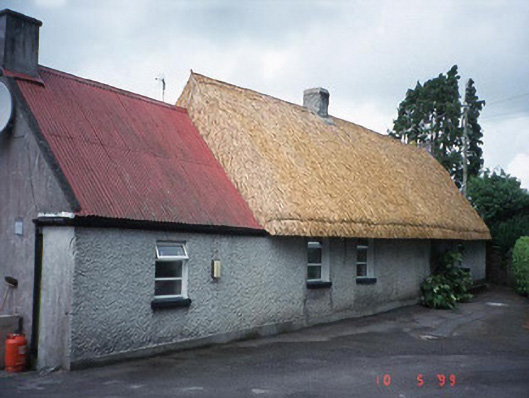 farm housefarm house · 1.1 mi
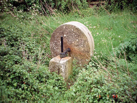 culm crusherculm crusher · 1.1 mi
 Carlow County MuseumMuseum · 1.8 mi
 VISUAL Centre for Contemporary ArtGallery · 1.9 mi
 CastleCastle, Anglo-Norman masonry castle · 1.9 mi
 Pedunculate OakPedunculate Oak · 2.1 mi
 Site of CastleCastle, unclassified · 2.1 mi
 White willowWhite willow · 2.4 mi
 Graveyard in Tomard Lower (3 Detached Portions)Graveyard · 4.1 mi
 Kilmurry Church (in ruins), GraveyardChurch · 4.5 mi