What is recorded here
Queen's Grave in Baskill, County Donegal, is a megalithic tomb reduced to a low mound almost totally ploughed out in a northward sloping field. It overlooks the plain and Culdaff River, yet nothing visible remains to suggest whether it was a chambered cairn or a structure of upright stones. The name implies a buried royal woman, but the earth has taken back even the shape of her grave.
According to Colhoun (1949), there is a chambered cairn, known as the 'Queen's Grave', in this townland. There is a low mound here that is almost totally ploughed out, but the original nature of the feature is not apparent (Lacy 1983). The basis of Colhoun's claim is uncertain. It may be that she had in mind references to a structure said to consist of two upright stones with a third laid horizontally on top of them (W.S. Mason 1814-19), which has been positioned in this townland by Lewis (1837) and 'Maghtochair' (1867).
W.S.Mason 1814-19, vol. 2, 155 ('near to Kindrahad' recte Kindroghed); Beaufort 1828, 119 ('at Kindrahad'); Lewis 1837, vol. 1,441; 'Maghtochair' 1867, 24; Colhoun 1949, 116; Bonner 1972, 16; Lacy 1983, 560, no. 242; SMR 1987, 12:23; Colhoun 1995, 52; RMP 1995, 12:23.
Known locally as 'Queen's Grave', the only visible remains is a low mound almost totally ploughed out with nothing to suggest the original nature of the monument. It is situated in a cultivated, northward sloping field, overlooking the plain and Culdaff River to the N.
The above description was published in the 'Survey of the Megalithic Tombs of Ireland. Volume VI, County Donegal.' Compiled by: Eamon Cody (Dublin: Stationery Office, 2002).
Date of upload: 22 September 2008
Chambered cairn, likely dating to the Neolithic period. Its significance lies in its association with early megalithic funerary practices, though its current state of preservation is poor.
The monument record does not grant public access. Check the route and ask the landowner before entering private land.
- What survives
- Recorded monument
Places near here
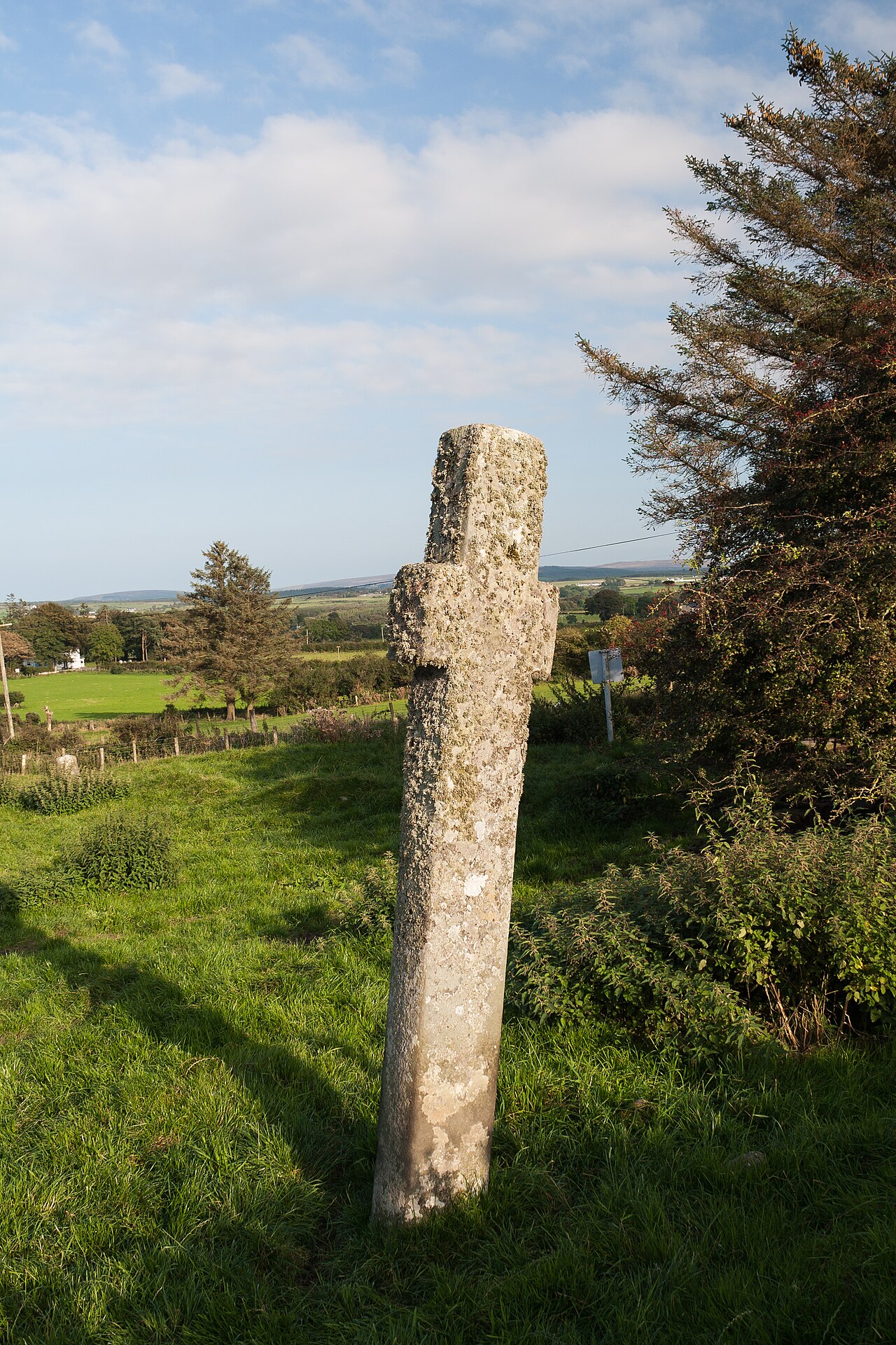
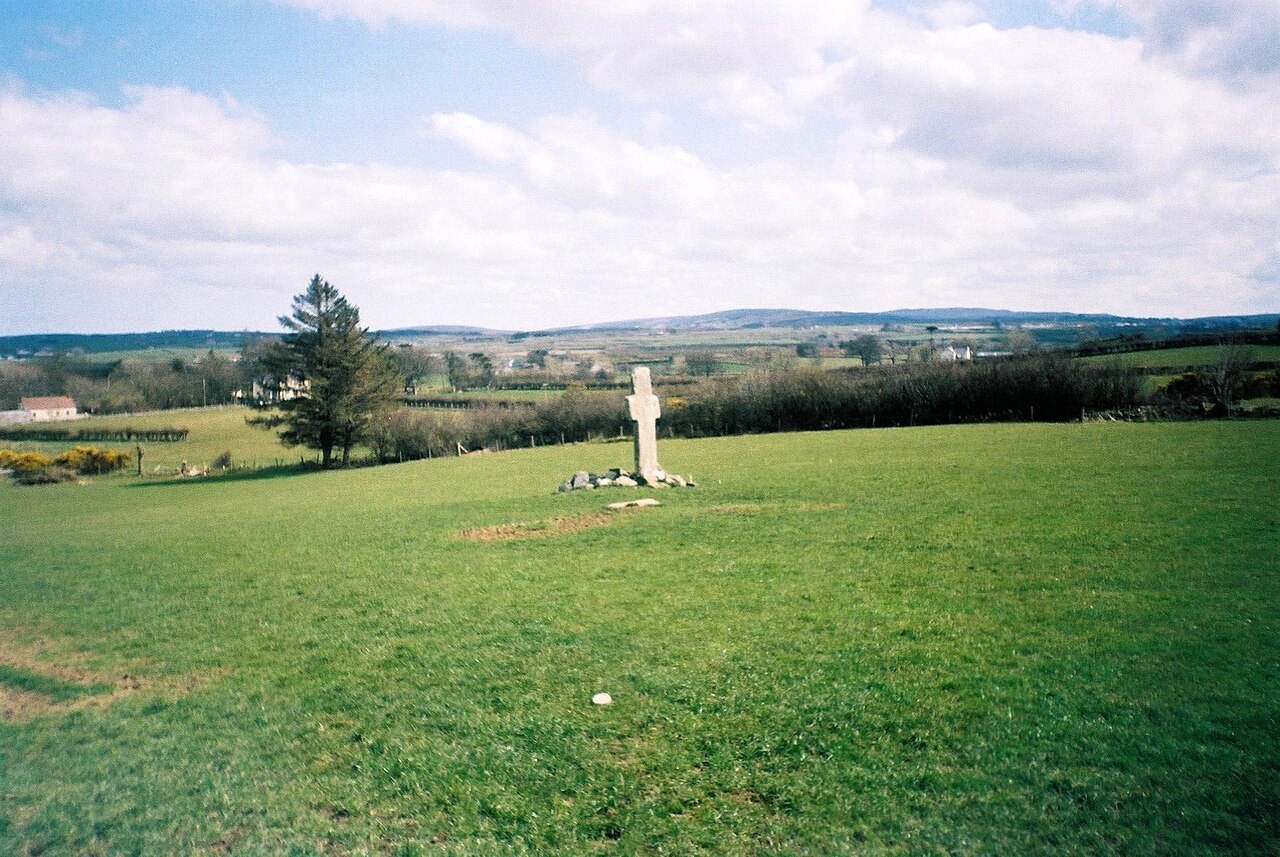 Stone CrossesCross, High cross · 358 yd
 Carrowmore Ecclesiastical EnclosureEcclesiastical enclosure · 409 yd
 Gleneely Bridgebridge · 698 yd
 farm housefarm house · 1115 yd
 CuldaffOfficial bathing water · 3.1 mi
 Carndonagh Early Church GraveyardGraveyard · 3.5 mi
 CastleCastle, unclassified · 3.6 mi
 CrockavishaneMountain / peak · 4.7 mi
 Tremone BayBeach / strand · 4.8 mi
 CroaghmoreMountain / peak · 4.8 mi
 Castle CaryCastle, unclassified · 6.5 mi
 Cooley CrossMemorial · 6.6 mi