What is recorded here
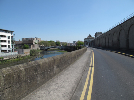
Tooled cut granite quay wall, built c.1850, having rounded profile to top. Round arch to culvert to north elevation, dressed granite voussoirs.
The construction of this quay wall in cut granite blocks attest to the high quality of stone masonry in the nineteenth century. It is not marked on the first edition Ordnance Survey map, and appears to have been constructed contemporaneously with Kingsbridge (now Heuston) Station. The Camac River was culverted at this time and flows into the Liffey at this point. The wall serves an important practical function in reclaiming sloblands and supporting the raised riverside east of Heuston Bridge. It is notable as a physical reminder of the civil engineering heritage of Dublin city, and makes a positive contribution to the landscape.
This does not grant access. Most recorded buildings are privately owned; view them only from public ground unless the owner allows entry.
Places near here
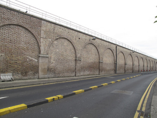 Heuston Stationtrain shed · 45 yd
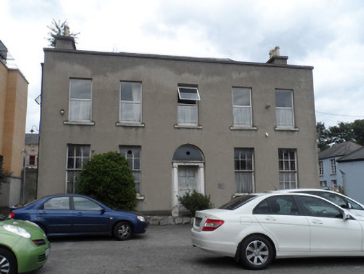 worker's houseworker's house · 132 yd
 Ludwig WittgensteinMemorial · 274 yd
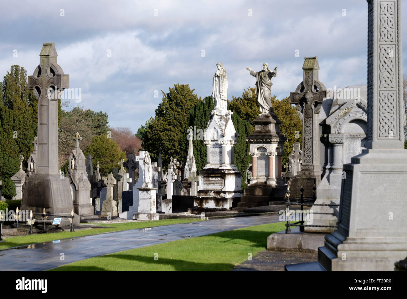 Grave YardGraveyard · 449 yd
 National Museum of Ireland, Decorative Arts & HistoryMuseum · 459 yd
 Pearse LyonsHeritage attraction · 488 yd
 CastleCastle, unclassified · 560 yd
 Croppies Acre MemorialMemorial · 587 yd
 Gairdín Foirmiúil Ospidéal Ríoga Chill MhaighneannVisitor information · 593 yd
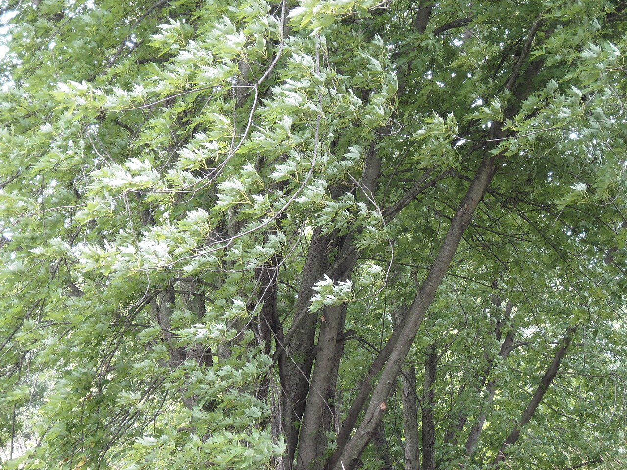 Silver mapleSilver maple · 713 yd
 European PearEuropean Pear · 805 yd
Other information
Photo: National Inventory of Architectural Heritage · Website use allowed for educational or private purposes with source credit