What is recorded here
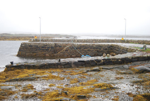
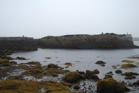
Quay or wharf in Rosmuck curls into a U, with its western side sloping towards the water. It has the posture of a man insisting he can carry you across a puddle, just as one knee starts making other arrangements.
U-plan quay, built c.1860. Rubble granite construction with battered terminus to eastern section. Concrete and stone surface, sloped to western section, with stone mooring posts. Replacement concrete steps to west elevation of east quay. Irregular rubble stone parapet.
This small quayside was constructed to serve the local fishing community and is a reminder of the economic and social importance of the sea in this district.
From the Buildings of Ireland (National Inventory of Architectural Heritage) record 30407801
This does not grant access. Most recorded buildings are privately owned; view them only from public ground unless the owner allows entry.
Places near here
Fraochoileán BeagIslet · 534 ydCladhnachIslet · 687 yd Séipéal an Ioncollaithe [Catholic Church of the Transfiguration]Church/chapel · 1047 ydCora ChláirHeadland · 1599 ydHoly well in Béal An DainginHoly well · 1.2 miquay/wharf1.4 miAn Crompán MórBay · 2.4 miFáinne ChamuisHeritage attraction · 2.5 miHoly well in Beaghy NorthHoly well · 2.8 miTeach an PhiarsaighHeritage attraction · 3.5 miCnoc MordáinMountain / peak · 5.4 miLeaca DonnaMountain / peak · 5.5 mi
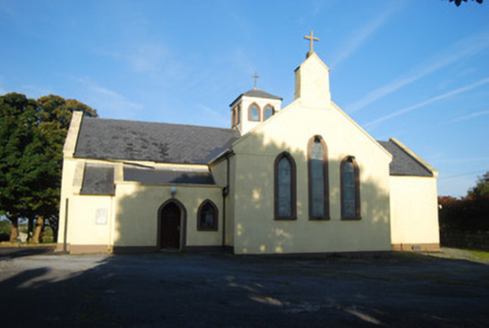 Séipéal an Ioncollaithe [Catholic Church of the Transfiguration]Church/chapel · 1047 ydCora ChláirHeadland · 1599 ydHoly well in Béal An DainginHoly well · 1.2 mi
 quay/wharf1.4 miAn Crompán MórBay · 2.4 miFáinne ChamuisHeritage attraction · 2.5 miHoly well in Beaghy NorthHoly well · 2.8 mi
 Teach an PhiarsaighHeritage attraction · 3.5 mi
 Cnoc MordáinMountain / peak · 5.4 mi
 Leaca DonnaMountain / peak · 5.5 mi
Pictures: National Inventory of Architectural Heritage; Digital Eye, Wikimedia Commons · CC BY-SA 4.0; Jonathan Wilkins, Wikimedia Commons · CC BY-SA 2.0; Jonathan Wilkins, Geograph · CC BY-SA 2.0
More historic places in County Galway · All of County Galway
What do you know about this place?