What is recorded here
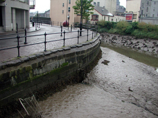
Section of coursed squared limestone retaining wall, c.1800, with slight batter, flights of cut-stone steps down to water, timber fender posts with wrought iron bracing, squared rubble stone coping, and sections of replacement steel railings, c.2000, over. Sited flanking (Saint?) John’s River forming quay.
This section of retaining wall is of considerable industrial archaeological significance as a reminder of the period when Scotch Quay was a busy commercial district. In good condition, the construction of the wall attests to high quality traditional stone masonry. The remainder of the site having been redeveloped in the late twentieth century leading to the loss of most of the associated industrial and commercial structures, the retaining wall is an important reminder of the activities historically undertaken on this site.
This does not grant access. Most recorded buildings are privately owned; view them only from public ground unless the owner allows entry.
Places near here
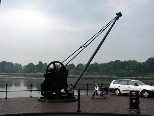 cranecrane · 63 yd
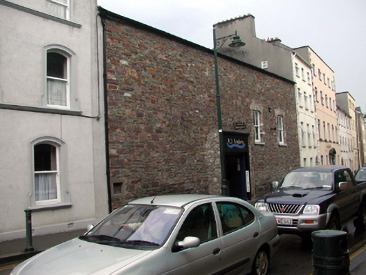 abattoirabattoir · 117 yd
 Pedunculate OakPedunculate Oak · 135 yd
 Malcomson's Shipping OfficeMemorial · 135 yd
 GOMA Gallery of Modern ArtGallery · 221 yd
 Blockhouse in Waterford CityBlockhouse · 286 yd
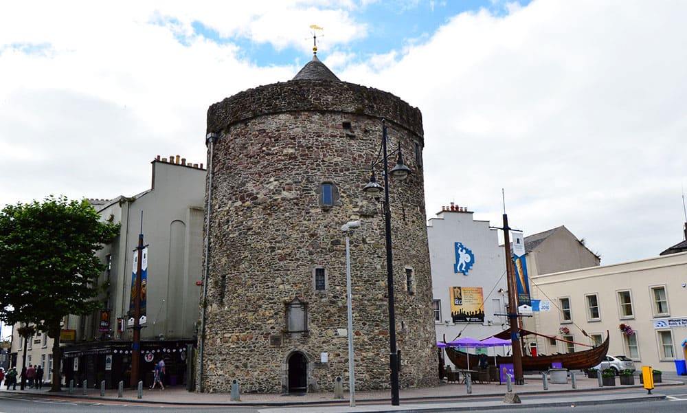
 Reginald's TowerMuseum · 292 yd
 Viking TriangleVisitor information · 310 yd
 Bastioned fort in Waterford CityBastioned fort · 324 yd
 Stephen de FulburnMemorial · 368 yd
 Semi-Lunar TowerCastle · 880 yd
 Granny CastleCastle, tower house · 2.9 mi
Other information
Photo: National Inventory of Architectural Heritage · Website use allowed for educational or private purposes with source credit