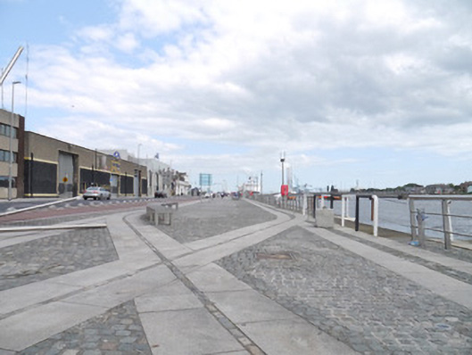
What is recorded here
Stone quay, built c.1800, in two section, located between Sean O'Casey Bridge and East Link bridge. Mixed cobbled, granite, sandstone and resin-bonded gravel marking modern landscaped paving scheme. Remains of old railway tracks remain embedded within paving scheme to eastern section. Steps and ramps with granite nosed boundary stones to road side. Bounded by modern steel railings. Contemporary developments and original warehouses to inner portion of quayside.
Situated next to Custom House Quay, North Wall Quay forms an important arterial link to other quays along the River Liffey. Of all the north quays, and despite widespread redevelopment, North Wall Quay retains the most obvious links with industry, being located closest to the functioning docks, and bearing remnants of nineteenth-century railway infrastructure. It also has the most open aspect of all the quays, being closer to the sea. The quays form an important part of maritime developments within the city stretching back to the thirteenth century. They are reminders of the economic and maritime development of Dublin as Ireland's principal port.
This does not grant access. Most recorded buildings are privately owned; view them only from public ground unless the owner allows entry.
Places near here
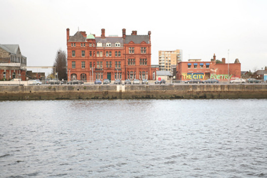 North Wall Quayquay/wharf · 7 yd
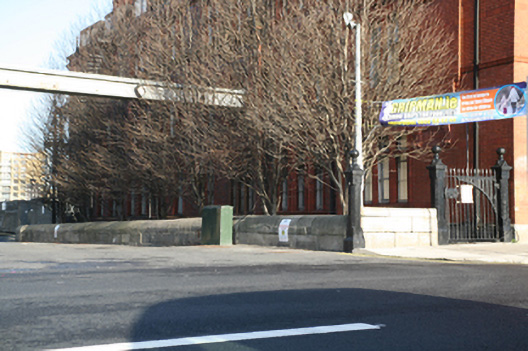 gates/railings/wallsgates/railings/walls · 31 yd
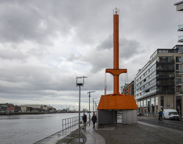 Dublin Port Diving Bell and Visitors CentreHeritage attraction · 191 yd
 The Convention Centre DublinHeritage attraction · 244 yd
 Samuel Beckett BridgeVisitor information · 273 yd
 ConciergeVisitor information · 316 yd
 Quay in Unknown TownlandQuay · 324 yd
 PaulMemorial · 711 yd
 Martin DohertyMemorial · 733 yd
 IndicatedSettlement cluster · 809 yd
 Burning of the Custom Housearmed conflict · 1207 yd
 Oriental planeOriental plane · 1384 yd
Other information
Photo: National Inventory of Architectural Heritage · Website use allowed for educational or private purposes with source credit