What is recorded here
Located at the crest of a NE-facing slope. It is depicted as a small oval stippled feature (dims c. 23m E-W; c. 15m N-S) and described as a quarry on the 1836 edition of the OS 6-inch map. It was described in 1970 (SMR file) as a slight grass-covered D-shaped mound (dims 20m N-S; 12m E-W; max. H 1.4m) which has been partially dug away at the W side.
The above description is derived from the published 'Archaeological Inventory of County Meath' (Dublin: Stationery Office, 1987). In certain instances the entries have been revised and updated in the light of recent research.
Compiled by: Michael Moore
Date of upload: 10 July 2007
Amended: 27 January 2021
The monument record does not grant public access. Check the route and ask the landowner before entering private land.
- What survives
- Recorded monument
Places near here
 Church (Site of)Church · 1695 yd
 Boyle's Fox CovertWood · 1.1 mi
 Little WoodForest · 1.1 mi
 MonasteryEcclesiastical residence · 1.3 mi
 Monastic RuinsChurch · 1.4 mi
 MoatCastle, motte · 1.4 mi
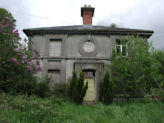 worker's houseworker's house · 1.7 mi
 Site of Old CastleCastle, unclassified · 1.8 mi
 Pat's Art StudioGallery · 2.0 mi
 RiverviewMemorial · 2.2 mi
 Slieve BreaghMountain / peak · 2.7 mi
 Hurcle HillMountain / peak · 3.2 mi