What is recorded here
From the National Monuments Service (Archaeological Survey of Ireland) record GA084-114
Places near here
Photo credits
- Maker not stated on source page, www.pinterest.com
- Maker not stated on source page, www.dreamstime.com
- Graham Horn, Geograph · CC BY-SA 2.0
- Maker not stated on source page, www.wildernessireland.com
- Evan Logan / INPHO, via HoganStand, Source publisher
- Maker not stated on source page, www.visitgalway.ie
- Maker not stated on source page, monumentalireland.ie
- National Inventory of Architectural Heritage
- Kmcnamee, Wikimedia Commons · CC BY-SA 4.0
 Fairy fort / stone ringfort in RahardFairy fort / stone ringfort · 1097 yd
Explorer Tom Fairy fort / stone ringfort in Rahard is a collapsed drystone wall that has been overlain by a field boundary. It’s…
 New Cemetery AthenryCemetery · 1.1 mi
Explorer Tom New Cemetery Athenry is locked in a bitter feud between two families over who gets the best view of the river. They…
 CemeteryBurial ground · 1.1 mi
Explorer Tom Cemetery in Boyhill has strict rules: no running, no shouting, and definitely no dogs. It’s just a name on a map right…
 Athenry CastleHeritage attraction · 1.3 mi
Explorer Tom Athenry Castle in County Galway is the favorite gossip spot for the local seagulls, who complain about the fish supply…
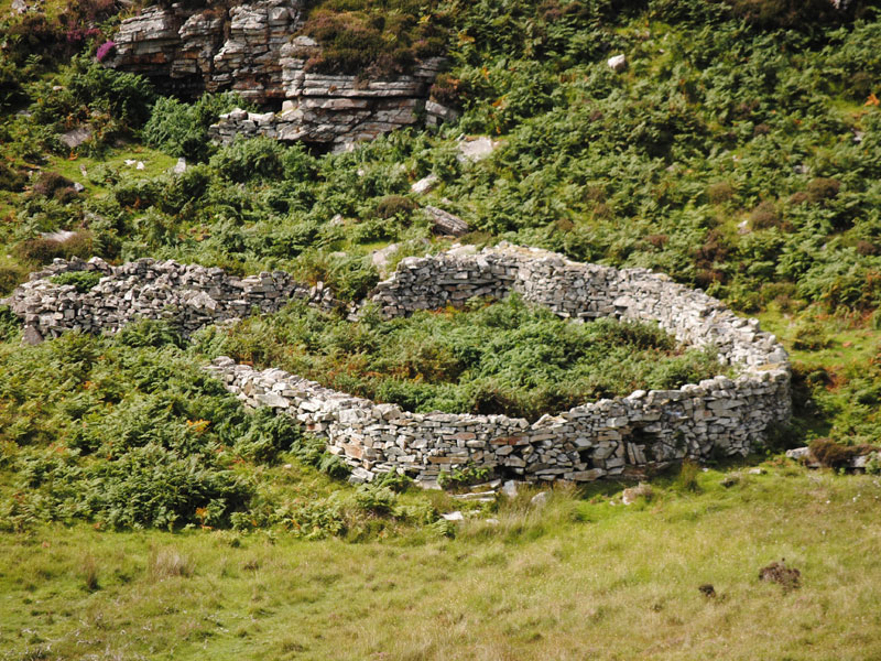 Fairy fort / earthen ringfort in Farranablake EastFairy fort / earthen ringfort · 1.3 mi
Explorer Tom Fairy fort / earthen ringfort in Farranablake East is hiding a barn and a water tank inside its walls. It thinks that…
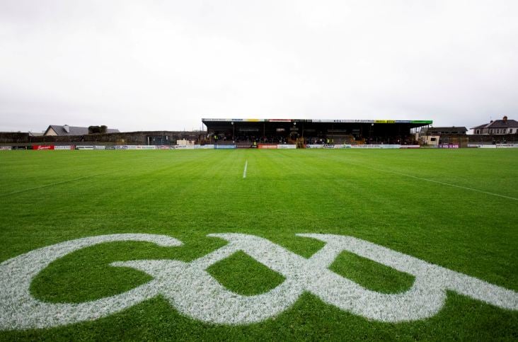 Kenny ParkGAA ground · 1.4 mi
Explorer Tom Kenny Park gives Athenry hurling a stage where a sliotar can disappear into the sky before anyone has finished shouting…
 CastleCastle, unclassified · 1.4 mi
Explorer Tom Castle in Caherroyn is officially 'not located', which means it's hiding from us all. A guy named Tybbott beg owned it…
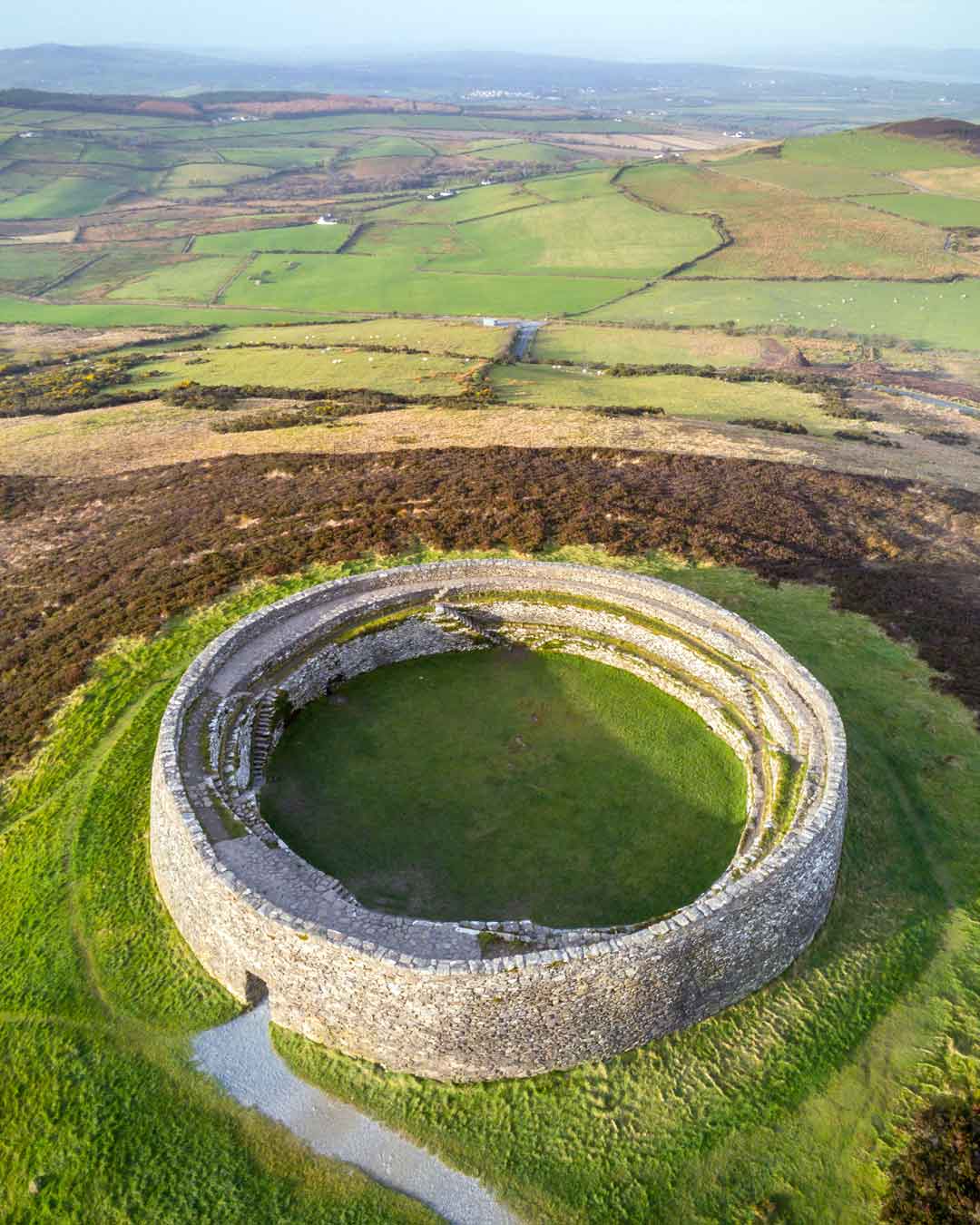 Fairy fort / stone ringfort in Farranablake EastFairy fort / stone ringfort · 1.5 mi
Explorer Tom Fairy fort / stone ringfort in Farranablake East claims to be famous but has no proof. It’s probably just a rock circle…
 bridge1.5 mi
Explorer Tom Bridge in Caherroyn is flexing its Victorian masonry like it invented style. It’s got rock-faced quoins that look…
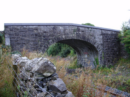 Farranablake BridgeBridge · 1.6 mi
Explorer Tom Farranablake Bridge in Turloughalanger is refusing to collapse because it’s too proud to admit it’s tired. The…
 Raheen Pitch, St. Mary's GAA, AthenryGAA ground · 2.0 mi
 Rathgorgin Castle (in ruins)Castle, unclassified · 2.4 mi
Explorer Tom Rathgorgin Castle is in a quiet rivalry with a much more famous place down the road, but it’s losing badly. Nobody…
More historic places in County Galway · All of County Galway

What do you know about this place?Tap to add a comment or ask a question