What is recorded here
Listed as a ‘quarry’ in the SMR (1988) and the RMP (1998). It is not depicted on the 1842 OS 6-inch map. The evidence is not sufficient to warrant accepting this as the location of an archaeological monument.
Compiled by: Matt Kelleher
Date of upload: 22 January 2015
The monument record does not grant public access. Check the route and ask the landowner before entering private land.
- What survives
- Recorded monument
Places near here
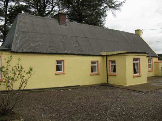 farm housefarm house · 1.1 mi
 Fulachta FiadhFulacht fia · 1.4 mi
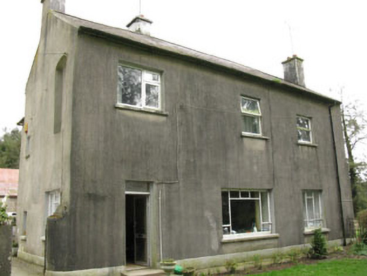 Davis Castlehouse · 1.6 mi
 Lyradane MountainMountain / peak · 1.7 mi
 IndicatedFairy fort / earthen ringfort · 1.9 mi
 Ballyvodane Castle (in Ruins)Castle, unclassified · 2.2 mi
 Rock HillMountain / peak · 2.6 mi
 New TipperaryVisitor information · 2.7 mi
 Castle (Site of)Castle, Anglo-Norman masonry castle · 2.8 mi
 Pairc Ath Na hEornaMemorial · 4.0 mi
 Graveyard in KilmonaGraveyard · 4.8 mi
 Saint Bartholomew's WellSpring · 5.0 mi