What is recorded here
On a hillock in boggy scrubland. A possible pit, V-shaped in section, with a short narrow band of charcoal close to its base was revealed when the hillock was being dug for gravel. As it is of post-AD 1700 date it does not come within the remit of the Archaeological Survey of Ireland.
Compiled by: Olive Alcock
Date of upload: 9 July 2014
The monument record does not grant public access. Check the route and ask the landowner before entering private land.
- What survives
- Recorded monument
Places near here
 IndicatedFairy fort / stone ringfort · 1120 yd
 Enclosure in Maghera More (moycullen By.)Enclosure · 1128 yd
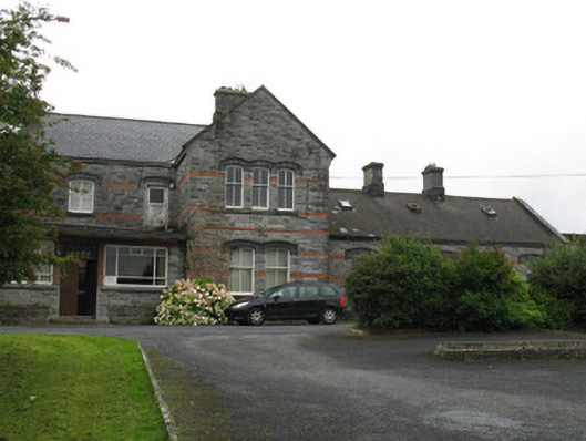 Oughterard Railway Stationrailway station · 1.0 mi
 Ardvarna Househouse · 1.2 mi
 Owenriff WayWalking route · 1.6 mi
 CastleCastle, unclassified · 1.7 mi
 Aughnanure Castle (in ruins)Castle, tower house · 1.9 mi
 Glengowla Mines MuseumMuseum · 2.4 mi
 Glengowla MinesHeritage attraction · 2.4 mi
 Inis Dáith BhuíIslet · 2.5 mi
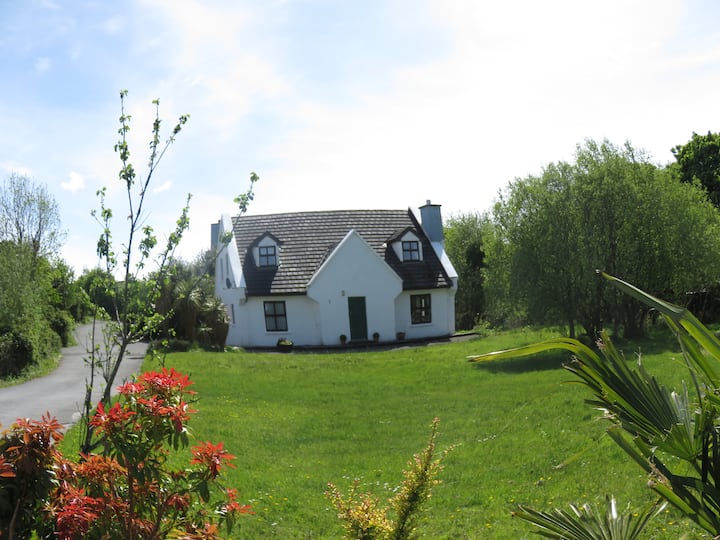 IllauncarbryIslet · 2.7 mi
 Newvillage ForestForest · 3.1 mi