
What is recorded here
On SE slope of a hill. Poorly preserved subcircular cashel (NW-SE 26.6m) defined by a collapsed drystone wall.
The above description is derived from the published 'Archaeological Inventory of County Galway Vol. I - West Galway'. Compiled by Paul Gosling (Dublin: Stationery Office, 1993).
Date of upload: 05 August 2010
The monument record does not grant public access. Check the route and ask the landowner before entering private land.
- What survives
- Recorded monument
Places near here
 Enclosure in Maghera More (moycullen By.)Enclosure · 982 yd
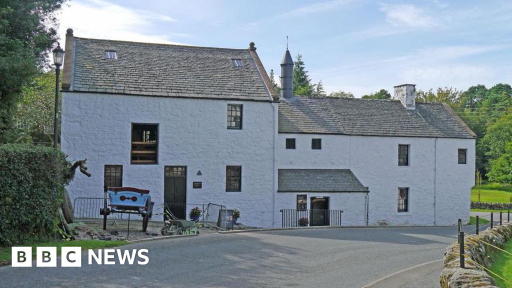 Corn MillMill, corn · 1.3 mi
 St. Patricks StoneRitual site, holy/saint's stone · 1.3 mi
 AltarPenitential station · 1.5 mi
 Aughnanure Castle (in ruins)Castle, tower house · 2.1 mi
 Owenriff WayWalking route · 2.2 mi
 CastleCastle, unclassified · 2.3 mi
 Glengowla Mines MuseumMuseum · 2.7 mi
 Glengowla MinesHeritage attraction · 2.8 mi
 Inis Dáith BhuíIslet · 3.2 mi
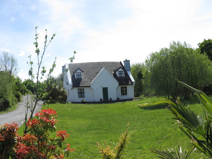 IllauncarbryIslet · 3.2 mi
 Newvillage ForestForest · 3.7 mi
Other information
Photo: Credit not shown in the picture search · Rights wording not checked; contact us if this picture should be removed