
What is recorded here
On a prominent ridge in pastureland. This oval enclosure (c. 40m E-W; 34m N-S) is defined by a much-degraded bank of earth and stone. The interior is level. A trackway curves around the enclosure from NE to E respecting the line of the bank. The monument was identified by the landowner.
Compiled by: Olive Alcock based on a report provided by Dr. Paul Naessens, Galway.
Date of upload: 29 May 2015
The monument record does not grant public access. Check the route and ask the landowner before entering private land.
- What survives
- Recorded monument
Places near here
 IndicatedFairy fort / stone ringfort · 981 yd
 Ecclesiastical enclosure in LaghtgannonEcclesiastical enclosure · 1.0 mi
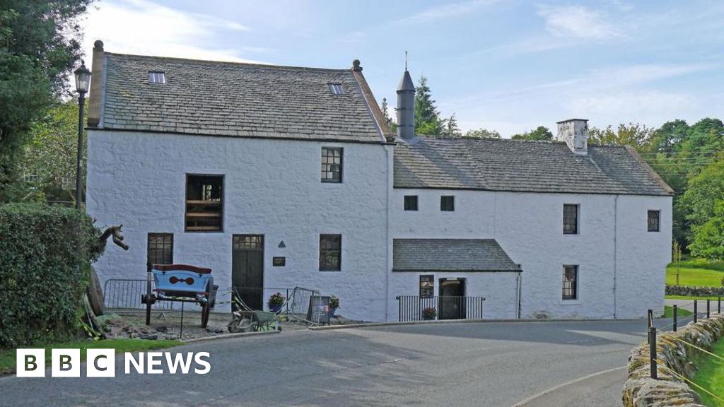 Corn MillMill, corn · 1.2 mi
 AltarPenitential station · 1.3 mi
 Aughnanure Castle (in ruins)Castle, tower house · 1.6 mi
 Owenriff WayWalking route · 2.0 mi
 CastleCastle, unclassified · 2.0 mi
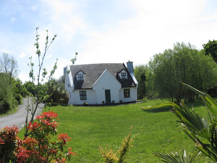 IllauncarbryIslet · 2.8 mi
 Inis Dáith BhuíIslet · 2.8 mi
 Glengowla Mines MuseumMuseum · 3.0 mi
 Glengowla MinesHeritage attraction · 3.1 mi
 Annagh WoodWood · 3.6 mi
Other information
Photo: Credit not shown in the picture search · Rights wording not checked; contact us if this picture should be removed