What is recorded here
Listed in the SMR (1989) and classified as 'Enclosure(s)'. Not marked on any edition of the OS 6-inch map. Its inclusion in the SMR was based upon interpretation of features visible on an aerial photograph (GSIAP, G 268). Upon inspection in 1992 it was recorded that they are in fact quarry holes and of no archaeological significance.
Compiled by: Archaeological Survey Unit, UCC
Date of upload: 21 November 2011
The monument record does not grant public access. Check the route and ask the landowner before entering private land.
- What survives
- Recorded monument
Places near here
 Saint Joseph's Catholic Churchchurch/chapel · 448 yd
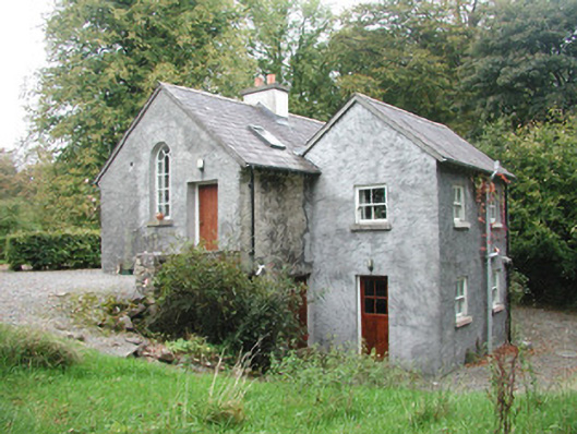 Newpark Housegate lodge · 665 yd
 Cliff-edge fort in NewparkCliff-edge fort · 1068 yd
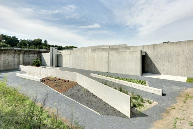 Ecclesiastical enclosure in NewparkEcclesiastical enclosure · 1171 yd
 Behy Castle (in Ruins)Castle, tower house · 1.6 mi
 James MorrisonMemorial · 2.0 mi
 Brother WalfridMemorial · 2.7 mi
 Ballymote CastleCastle · 2.7 mi
 Riverstown Folk ParkHeritage attraction · 3.0 mi
 School CaveCave · 3.0 mi
 Kesh CorannMountain / peak · 3.3 mi
 Caves of KeshCave · 3.5 mi