
What is recorded here
In pasture immediately N of townland boundary with Maidstown. Dromin Church (LI039-077001-) and graveyard (LI039-077002-) located 150m to SE. Annotated 'Fair Green' and depicted on the 1897 ed. OSi 25-inch map as a ridge running NW-SE (L c. 75m) that is excavated to N with an oval-shaped depression at SE. Identified as a possible rectangular enclosure on aerial photograph (ASIAP (346) 19) taken 05/01/2003. Visible as a large depression resulting from quarrying activity on OSi orthophoto taken between 2005-12 and on Google Earth orthoimage dated 20/09/2020.
See attached Google Earth orthoimage.
Compiled by: Martin Fitzpatrick
Date of upload: 11 May 2021
The monument record does not grant public access. Check the route and ask the landowner before entering private land.
- What survives
- Recorded monument
Places near here
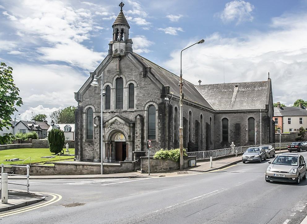 Dromin Church (in ruins)Church · 229 yd
 BarrowBarrow, unclassified · 888 yd
 Bawn in MaidstownBawn · 1090 yd
 EnclosureEnclosure, large enclosure · 1158 yd
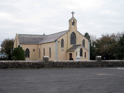 Catholic Church of the Holy Trinitychurch/chapel · 1326 yd
 Bawn in Ballycullane (kilmallock By.)Bawn · 1.3 mi
 King John's CastleCastle · 2.6 mi
 St Bridget's WellSpring · 4.4 mi
 Glen BogForest · 5.4 mi
 Flat cemetery in Knockainy WestFlat cemetery · 6.4 mi
 Ballinvreena LoopVisitor information · 7.5 mi
 Edmund's WellSpring · 8.0 mi
Other information
Photo: Credit not shown in the picture search · Rights wording not checked; contact us if this picture should be removed