What is recorded here
Listed as ‘Enclosure, possible’ in the SMR (1992) and the RMP (1996). A circular feature is hachured on the 1939 edition of the OS map, however, this is named ‘Gravel pits (disused)’ on the OS 25-inch map.
Compiled by: Mary Tunney
Date of upload: 17 December 2014
The monument record does not grant public access. Check the route and ask the landowner before entering private land.
- What survives
- Recorded monument
Places near here
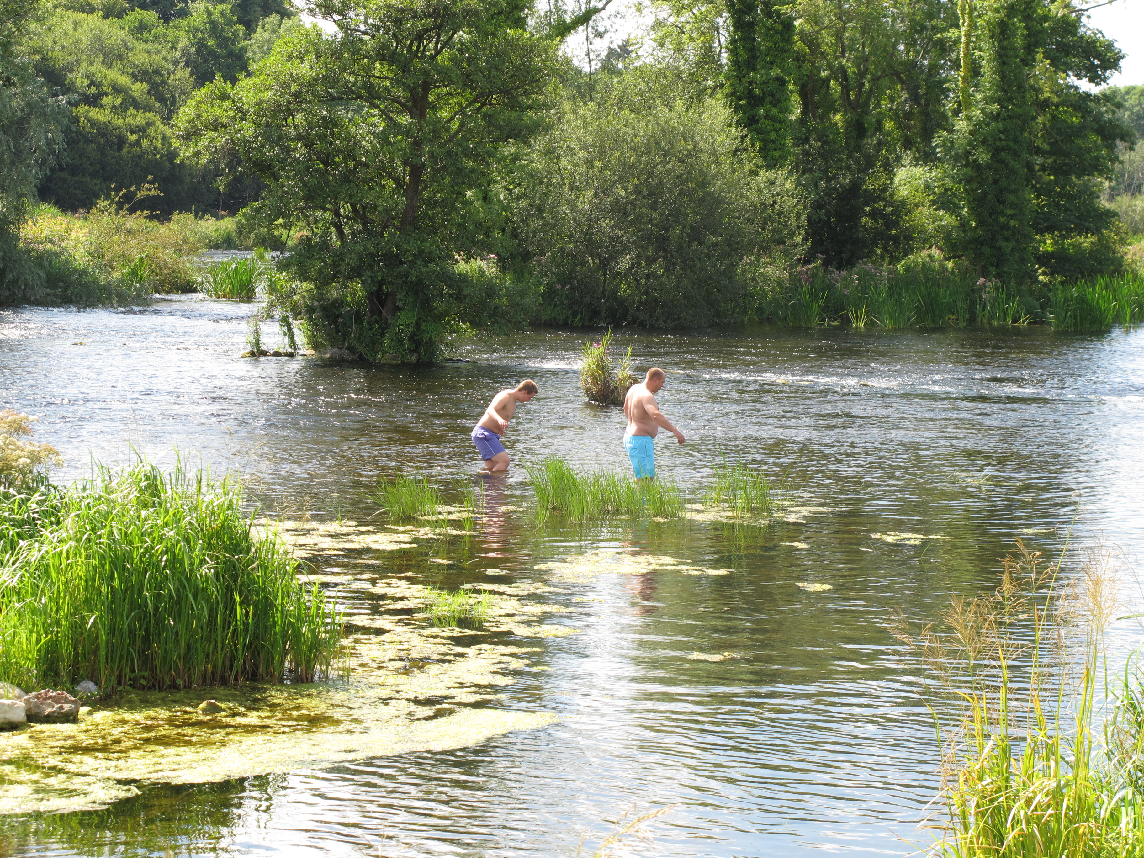 Enclosure in DoonassEnclosure · 742 yd
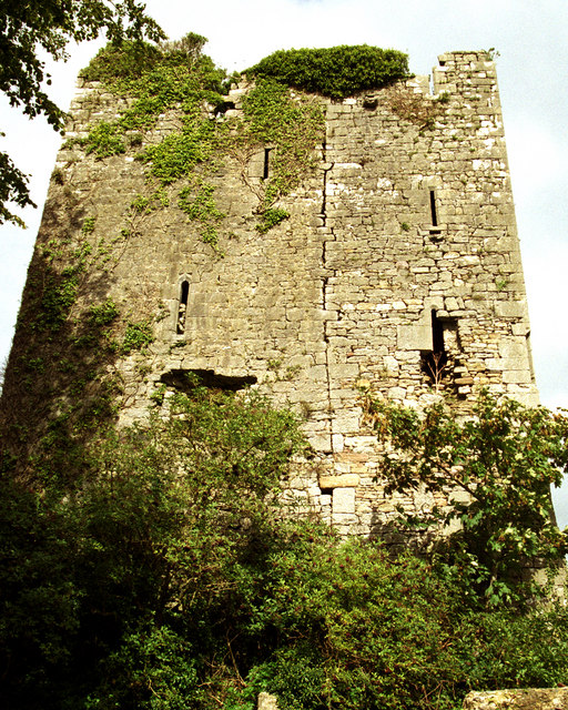 Coollisteige Castle (in Ruins)Castle, unclassified · 1170 yd
 Johns Castle (in Ruins)Castle, unclassified · 1240 yd
_-_geograph.org.uk_-_6978150.jpg?width=1280) Doonass Housecountry house · 1502 yd
Doonass Housecountry house · 1502 yd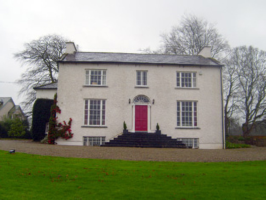 Shannon Viewhouse · 1.0 mi
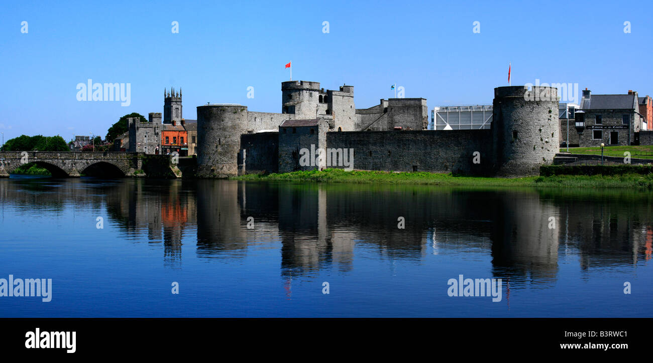 Logalean FortArchaeological place · 1.0 mi
 Old PumpHeritage attraction · 2.7 mi
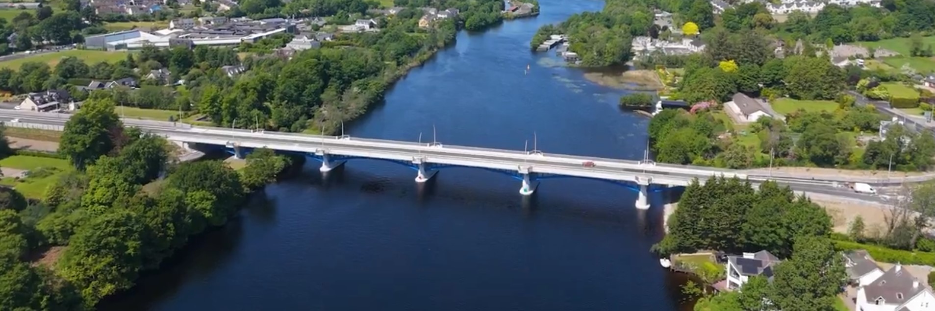 parking na O'Briena bridgeHeritage attraction · 2.8 mi
 Campus MapVisitor information · 3.5 mi
 Visitor CentreVisitor information · 3.5 mi
 Kilroughil Graveyard (Site of)Archaeological place · 4.5 mi
 The Pollagh TrailNature reserve · 5.1 mi