What is recorded here
Listed as ‘Earthwork’ in the SMR (1992) and the RMP (1996). Visible as an arc of hachures (L c. 45m) on the 1922 OS 6-inch map but hachured and named as ‘Gravel Pit, Disused’ on the OS 25-inch map. No trace of the quarry remained in 2002 when the area was inspected.
Compiled by: Mary Tunney
Date of upload: 11 March 2015
The monument record does not grant public access. Check the route and ask the landowner before entering private land.
- What survives
- Recorded monument
Places near here
 Enclosure in Carrow (moyarta By.)Enclosure · 219 yd
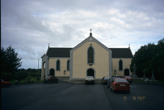 Saint Senan's Catholic Churchchurch/chapel · 515 yd
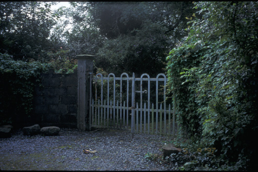 Dangananella Househouse · 554 yd
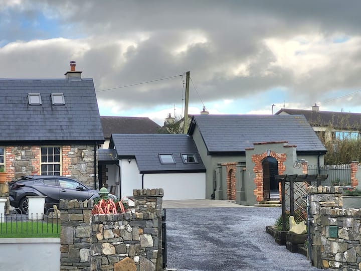 LisroeFairy fort / earthen ringfort · 1054 yd
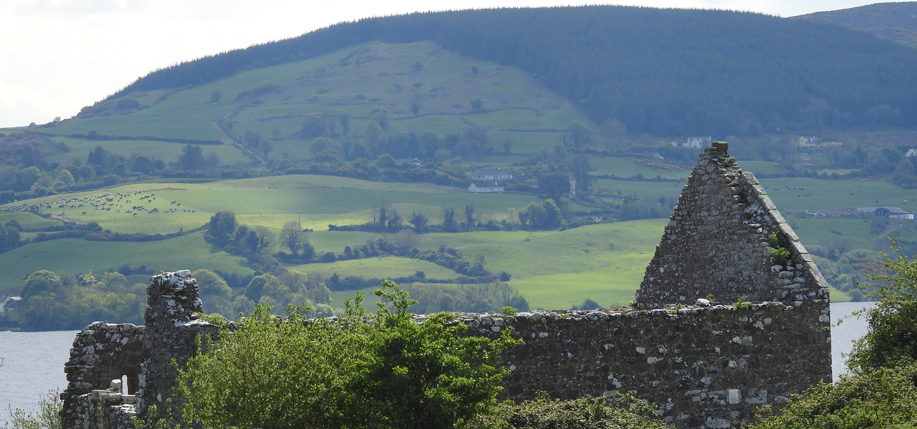 Derrycrossaun Castle (Site of)Castle, unclassified · 3.8 mi
 Doonbeg Castle (in Ruins)Castle, tower house · 4.6 mi
 The Museum of Irish Rural LifeMuseum · 4.8 mi
 St Senan's WellSpring · 4.8 mi
 Vandeleur Walled GardenHeritage attraction · 4.8 mi
 Doughmore BeachBeach / strand · 4.9 mi
 St. Senan's WellSpring · 5.0 mi
 Doonbeg BayBay · 5.2 mi