What is recorded here
On the S side of a bend in a stream. Listed as ‘Enclosure, possible’ in the SMR (1992) and in the RMP (1996). Indicated as a hachured semicircular area on the 1919 edition of the OS 6-inch map and hachured and named ‘Gravel pit (disused)’ on the OS 25-inch map. A semicircular steep slope leading down to the stream at N.
Compiled by: Mary Tunney
Date of upload: 5 November 2014
The monument record does not grant public access. Check the route and ask the landowner before entering private land.
- What survives
- Recorded monument
Places near here
 Enclosure in BauragegaunEnclosure · 552 yd
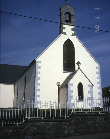 Saint Mary's Catholic Churchchurch/chapel · 1260 yd
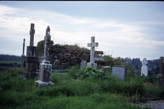 graveyard/cemeterygraveyard/cemetery · 1.1 mi
 IndicatedEnclosure · 1.4 mi
 Bawn in Lecarrow UpperBawn · 1.8 mi
 Castle (in ruins)Castle, tower house · 3.0 mi
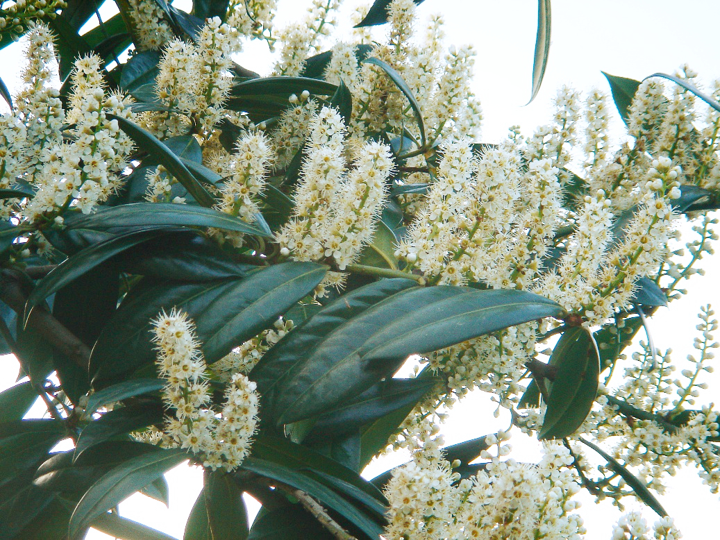 Cherry laurelCherry laurel · 3.2 mi
 Japanese cedarJapanese cedar · 3.2 mi
 MagheraMountain / peak · 3.9 mi
 The StablesGallery · 5.7 mi
 Cloghleagh RockNamed rock · 8.3 mi
 Inishcaltra or Holy IslandIslet · 8.8 mi