
What is recorded here
On the break of a S-facing slope, in improved, wet pasture with excellent views of the surrounding landscape, particularly to S and E. Listed as 'Enclosure' in the SMR (1992) and the RMP (1996). This is depicted on the 1842 edition of the OS 6-inch map as a circular area of scrub. It is not shown on later OS historic mapping. It is not clearly identifiable at ground level. It consists of a roughly circular area (22m N-S; 20m E-W) of rock outcrop, located to W of a field boundary (long-axis N-S). The surface of the ground is uneven and there is flat surface rock and subsurface rock forming natural undulations. A low rise at NNW appears to be rock outcrop and it gives the impression of a levelled portion of bank. A rock on a break of slope at SSW also appears naturally formed. The interior is uneven, having further rock outcrop which is level with the ground surface. There are no obvious features on the E side of the field boundary.
Compiled by: Mary Tunney, Alison McQueen and Vera Rahilly
Date of upload: 4 December 2018
The monument record does not grant public access. Check the route and ask the landowner before entering private land.
- What survives
- Recorded monument
Places near here
 Enclosure in BauragegaunEnclosure · 1.1 mi
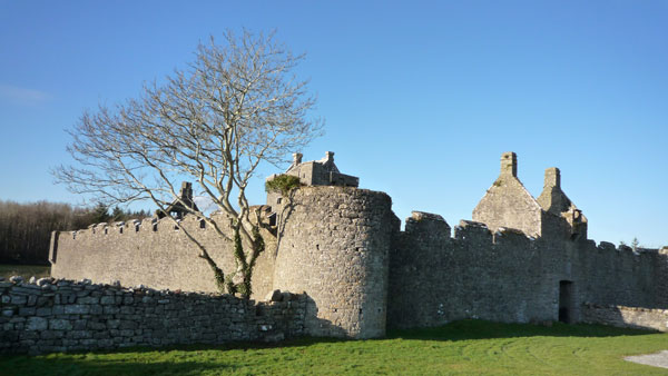 Cappanknochaun FortFairy fort / earthen ringfort · 1.4 mi
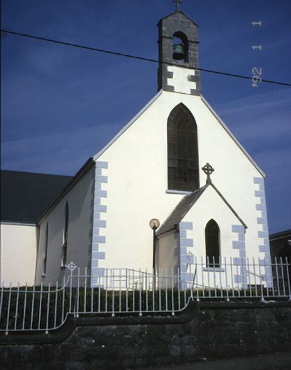 Saint Mary's Catholic Churchchurch/chapel · 2.1 mi
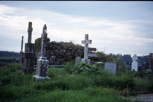 graveyard/cemeterygraveyard/cemetery · 2.5 mi
 Castle (in ruins)Castle, tower house · 2.7 mi
 Castle (Site of)Castle, tower house · 3.2 mi
 MagheraMountain / peak · 3.4 mi
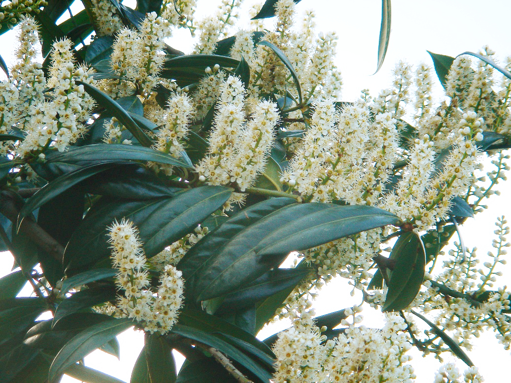 Cherry laurelCherry laurel · 3.6 mi
 Japanese cedarJapanese cedar · 3.6 mi
 The StablesGallery · 4.6 mi
 Cloghleagh RockNamed rock · 7.4 mi
 Swan IslandIsland · 8.2 mi
Other information
Photo: Credit not shown in the picture search · Rights wording not checked; contact us if this picture should be removed