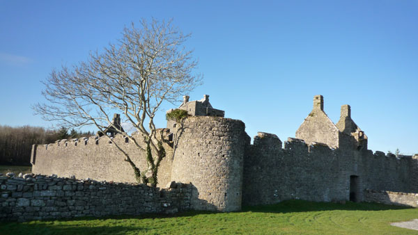
What is recorded here
On top of a hillock, just above the 200ft contour, in rough pasture with good views of the surrounding landscape, particularly NE-SW. This is depicted on the 1842 edition of the OS 6-inch map as an oval area (c. 33m NW-SE; c. 28m NE-SW) and named ‘Cappanknockaun Fort’. It is recorded as ‘site of’ on the 1920 OS 6-inch map. It consists of a densely overgrown irregular area (c. 24m N-S; c. 19m E-W) in the NW corner of a field. The monument is completely engulfed in dense vegetation of briars (H 1.8m) and mature thorn trees. The arc of an earthen bank (int. H 0.4m; ext. H 0.5m; Wth at top 1.3m; Wth at base 3.5m) is evident ENE-E. This is reduced to a scarp (Wth 1.4m; H 0.55m) E-ESE. Elsewhere the enclosing elements cannot be accessed or seen due to overgrowth. A small area of the interior can be seen within the E sector where the interior is higher (H 0.55m) than the external ground level. It is likely that from what can be seen that this ringfort is still extant to some extent.
The following images have been uploaded:
CL027-013----_01.jpg From NE. General view of monument exterior.
CL027-013----_02.jpg From E. General view of inaccessible interior.
CL027-013----_03.jpg From S. Cross-sectional view of scarp at E.
Compiled by: Mary Tunney, Alison McQueen and Vera Rahilly
Date of upload: 5 December 2018
Cappanknochaun Fort is a likely early-medieval ringfort situated on a hillock, depicted as an oval enclosure on the 1842 Ordnance Survey 6-inch map. Local tradition associates such sites with fairy folklore, and it may have been considered a place of supernatural significance in the past.
The monument record does not grant public access. Check the route and ask the landowner before entering private land.
- What survives
- Recorded monument
Places near here
 Enclosure in TomeEnclosure · 1297 yd
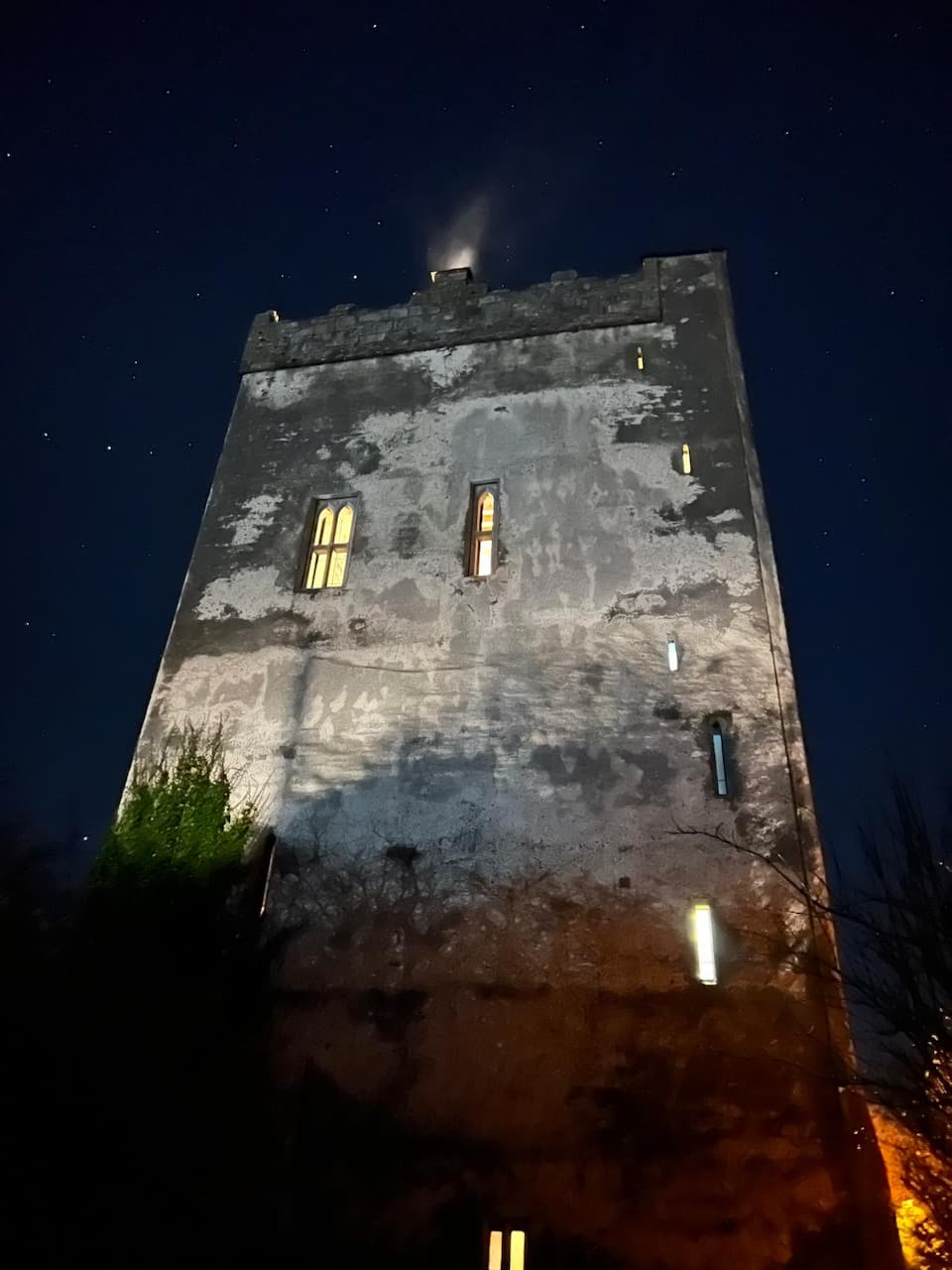 Lecarrow FortEnclosure · 1.1 mi
 Castle (in ruins)Castle, tower house · 1.8 mi
 Castle (Site of)Castle, tower house · 2.0 mi
 Saint James's Catholic Churchchurch/chapel · 2.2 mi
 St Mochullas Ch (in RuinsChurch · 3.0 mi
 The StablesGallery · 3.2 mi
 MagheraMountain / peak · 4.3 mi
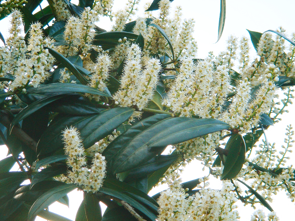 Cherry laurelCherry laurel · 5.0 mi
 Japanese cedarJapanese cedar · 5.0 mi
 Cloghleagh RockNamed rock · 5.6 mi
 Mulkere MemorialMemorial · 7.8 mi
Other information
Photo: Credit not shown in the picture search · Rights wording not checked; contact us if this picture should be removed