
What is recorded here
On a gentle SW-facing slope in an area of tillage. A subcircular area (max. ext. diam. c. 50m) defined by a low bank E-S-W is visible on Digital Globe (2012-2013). Differential growth in a pattern of concentric circles visible on Google Earth (imagery date 31 March 2022) also highlights the possible existence of subsurface remains. Noted by Jean-Charles Caillère.
Compiled by: Mary Tunney
Date of upload: 26 November 2025
The monument record does not grant public access. Check the route and ask the landowner before entering private land.
- What survives
- Recorded monument
Places near here
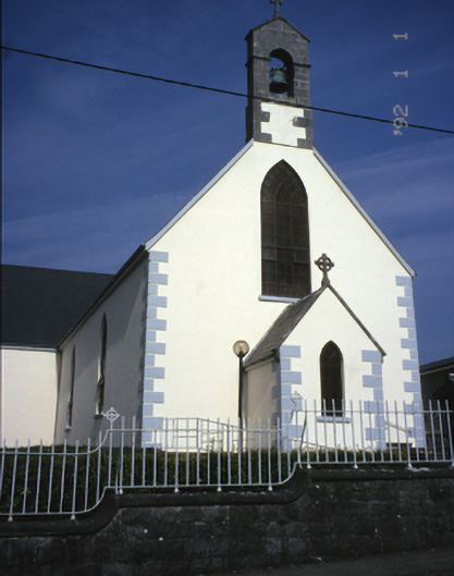 Saint Mary's Catholic Churchchurch/chapel · 1.0 mi
 IndicatedEnclosure · 1.1 mi
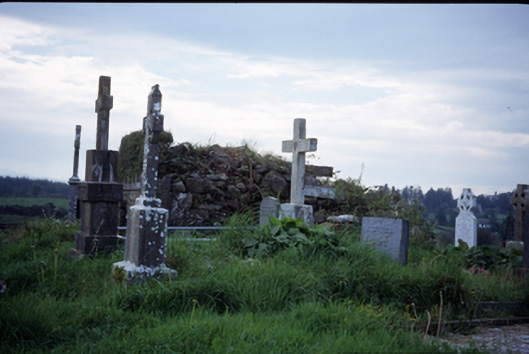 graveyard/cemeterygraveyard/cemetery · 1.4 mi
 Tobergrania Holy WellHoly well · 1.6 mi
 Bawn in Lecarrow UpperBawn · 2.1 mi
 Castle (in ruins)Castle, tower house · 2.9 mi
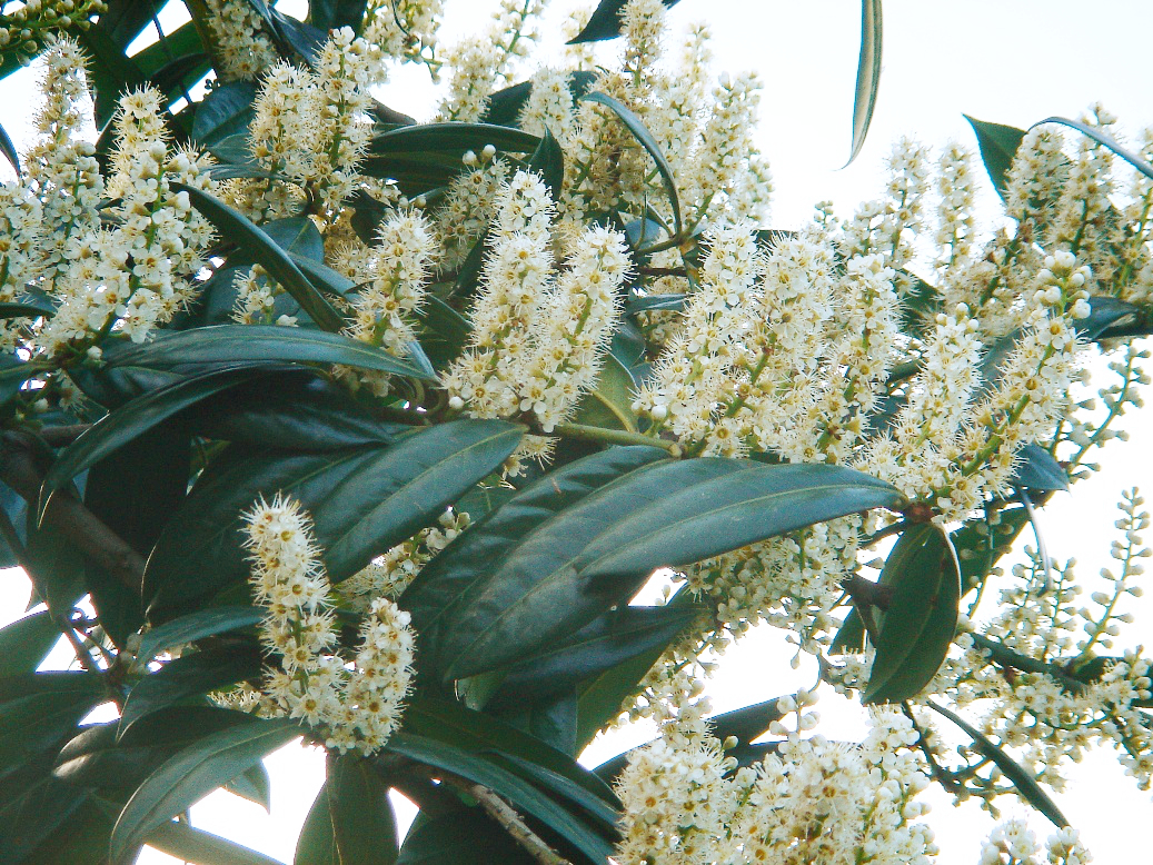 Cherry laurelCherry laurel · 3.3 mi
 Japanese cedarJapanese cedar · 3.3 mi
 MagheraMountain / peak · 3.8 mi
 The StablesGallery · 5.4 mi
 Cloghleagh RockNamed rock · 8.1 mi
 Swan IslandIsland · 8.8 mi
Other information
Photo: Credit not shown in the picture search · Rights wording not checked; contact us if this picture should be removed