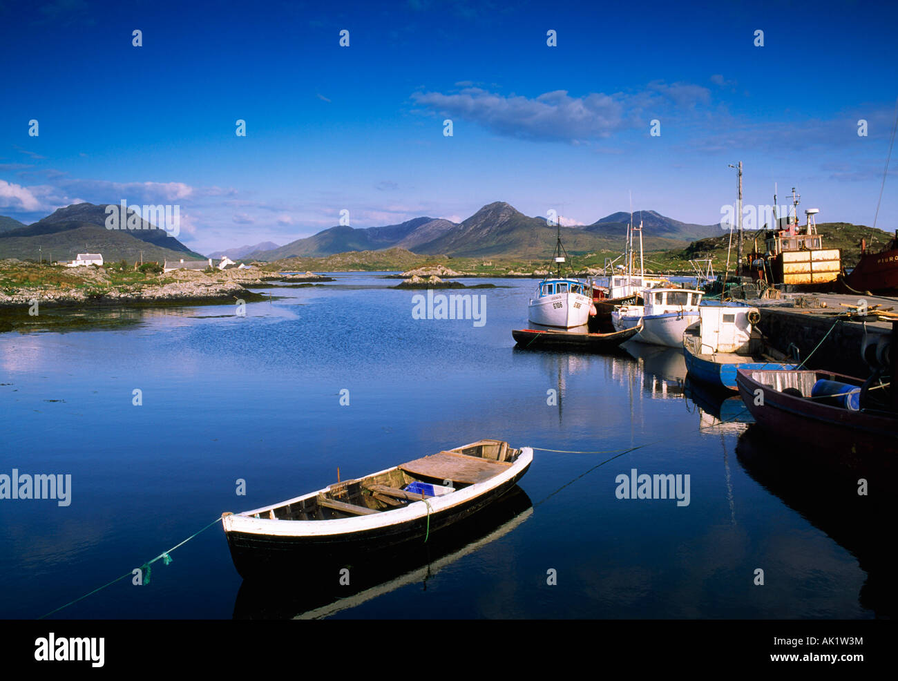
What is recorded here
On a glacial ridge. The record was classified as Enclosure in the RMP (1997). A re-examination of the cartographic evidence indicates that it was named 'Gravel Pit' on the OS 1:2500 plan (surveyed 1912-16). It is a disused and overgrown quarry pit.
Compiled by: Galway Archaeological Survey, UCG
Date of upload: 14 February 2019
The monument record does not grant public access. Check the route and ask the landowner before entering private land.
- What survives
- Recorded monument
Places near here
 ToberdonghaunHoly well · 238 yd
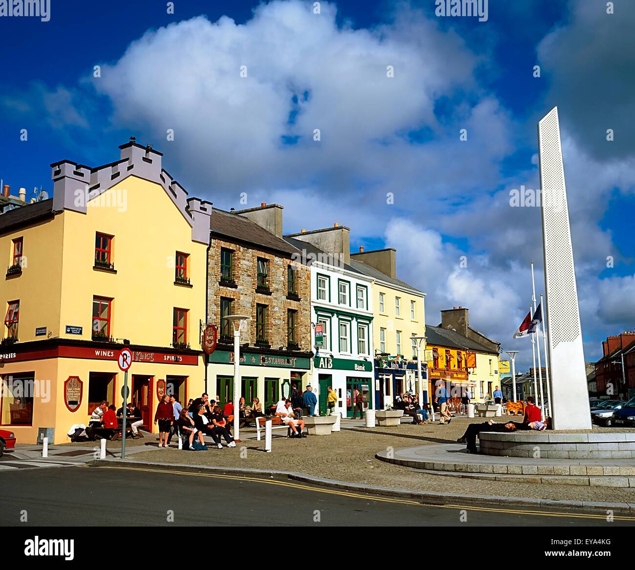 CankillyHouse, 20th century · 1263 yd
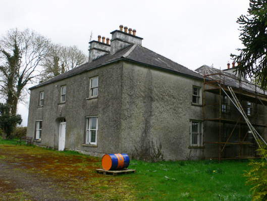 Cloonkeahouse · 1346 yd
 Lismore CastleCastle, tower house · 1.1 mi
 Enclosure in Muckinish IslandEnclosure · 1.2 mi
 Esker IslandIsland · 1.5 mi
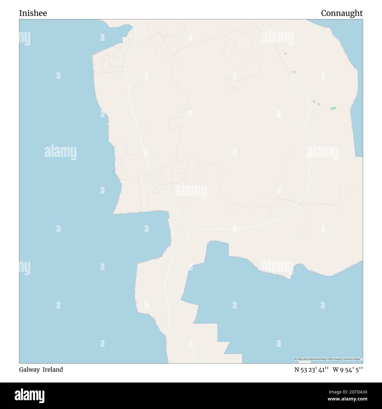 InisheeIsland · 1.8 mi
 MeelickVisitor information · 1.9 mi
 CastleCastle, unclassified · 2.1 mi
 Horse-chestnutHorse-chestnut · 2.4 mi
 European YewEuropean Yew · 2.5 mi
 Clonfert CathedralHeritage attraction · 2.5 mi
Other information
Photo: Credit not shown in the picture search · Rights wording not checked; contact us if this picture should be removed