What is recorded here
Listed as ‘Earthwork’ in the SMR (1992) and the RMP (1996). A small circular hachured feature is visible on the 1923 edition of the OS 6-inch map. On the 25-inch map it is also hachured and named ‘Gravel pit (disused)’. On inspection in 2003 this was confirmed as an area from which gravel had been extracted. The area is now used as a dump. Compiled by: Mary Tunney Date of upload: 1 April 2015
The monument record does not grant public access. Check the route and ask the landowner before entering private land.
- What survives
- Recorded monument
Places near here
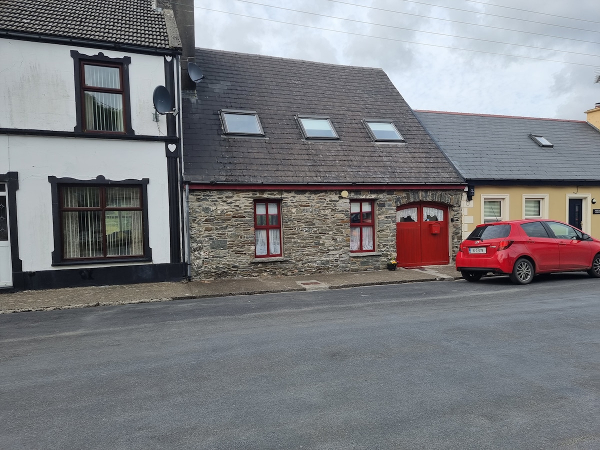 CahernagatFairy fort / stone ringfort · 770 yd
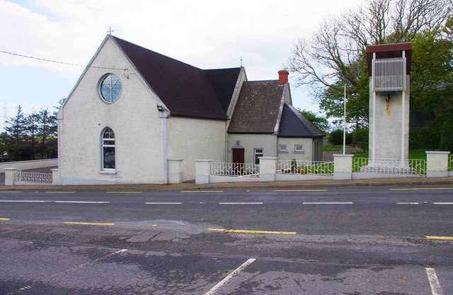 Saint Imy's Catholic Churchchurch/chapel · 1138 yd
 Enclosure in DoonnagurrogeEnclosure · 1183 yd
 St Senan's WellSpring · 1201 yd
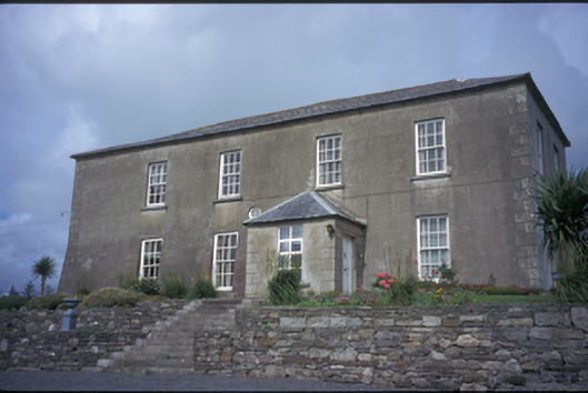 Donagrogue Castlehouse · 1272 yd
 Ballymacrinan BayBay · 1.6 mi
 Vandeleur Walled GardenHeritage attraction · 2.6 mi
 The Museum of Irish Rural LifeMuseum · 3.2 mi
 St. Senan's WellSpring · 3.5 mi
 Labasheeda Fort (19th Century)Castle · 3.6 mi
 Clonderalaw BayBay · 3.8 mi
 Crag WoodWood · 4.1 mi