
What is recorded here
Quarry depicted as a narrow rectangular-shaped excavated area (approx. dims. 64m N-S x 10m E-W) aligned on a NW-SE axis running parallel to the public road on the 1837 ed. OSi six-inch map. Road forms townland boundary at this junction with Flemingtown. Outlined as a narrow rectangular-shaped area on the last edition of the OSi six-inch map. Depicted in a similar fashion on the 1863 ed. OSi 25-inch map. Visible as a narrow rectangular-shaped scrub covered depression on the 2013-2018 MapGenie orthoimagery of the area.
Compiled by: Caimin O'Brien
The monument record does not grant public access. Check the route and ask the landowner before entering private land.
- What survives
- Recorded monument
Places near here
 Enclosure in Clonard OR Folkstown GreatEnclosure · 264 yd
 Ring-ditch in FlemingtownRing-ditch · 312 yd
 Clonard SpringSpring · 514 yd
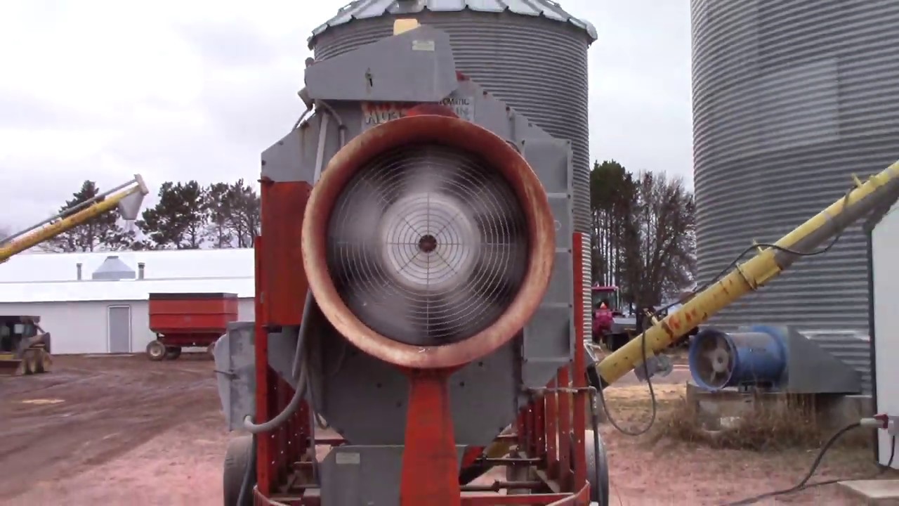 KilnKiln, corn-drying · 657 yd
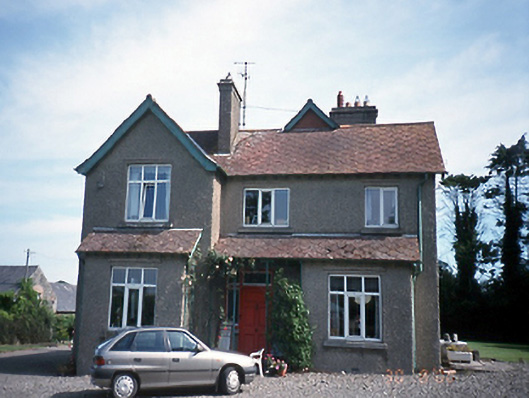 Balscaddan Househouse · 1386 yd
 Castle (remains of)Castle, tower house · 1.2 mi
 Bremore CastleCastle · 1.3 mi
 Balbriggan Tourist OfficeVisitor information · 1.5 mi
 European YewEuropean Yew · 1.8 mi
 Wavin LakesNature reserve · 1.9 mi
 Balrothery Heritage CentreMuseum · 2.0 mi
 Flat cemetery in DarcystownFlat cemetery · 2.3 mi
Other information
Photo: Credit not shown in the picture search · Rights wording not checked; contact us if this picture should be removed