What is recorded here
Small semi-circular-shaped quarry (approx. diam. 50m) standing on the townland boundary between Loughmain and Cabinhill depicted on the 1837 ed. OSi six-inch map. Partially hachured as a small hollow area on the last edition of the OSi six-inch map. No surface remains visible on the 2013-18 MapGenie orthoimage.
Compiled by: Caimin O'Brien
The monument record does not grant public access. Check the route and ask the landowner before entering private land.
- What survives
- Recorded monument
Places near here
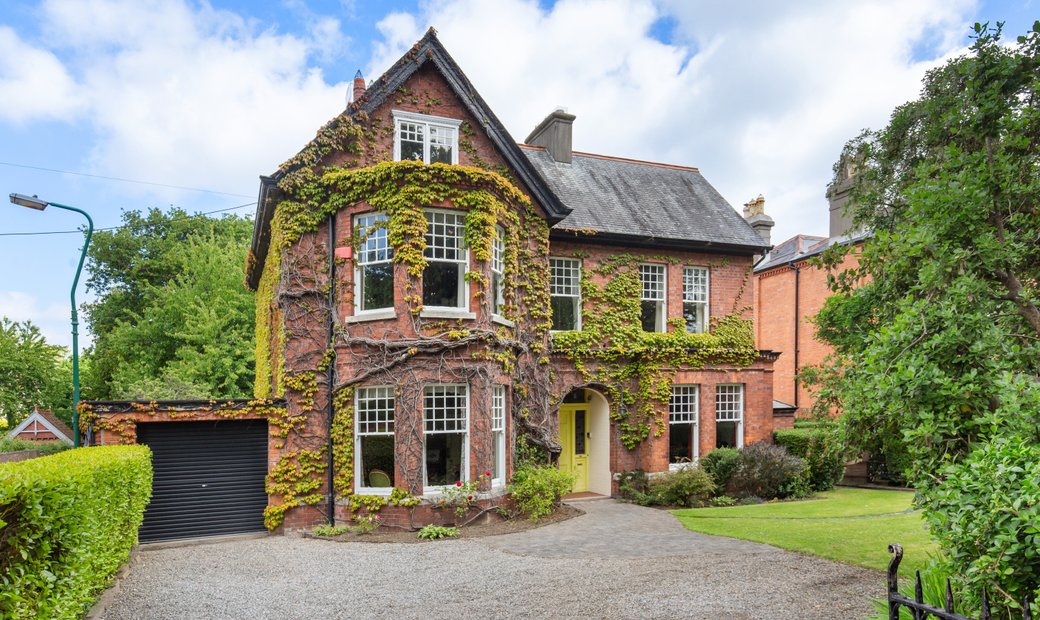 Enclosure in LoughmainEnclosure · 162 yd
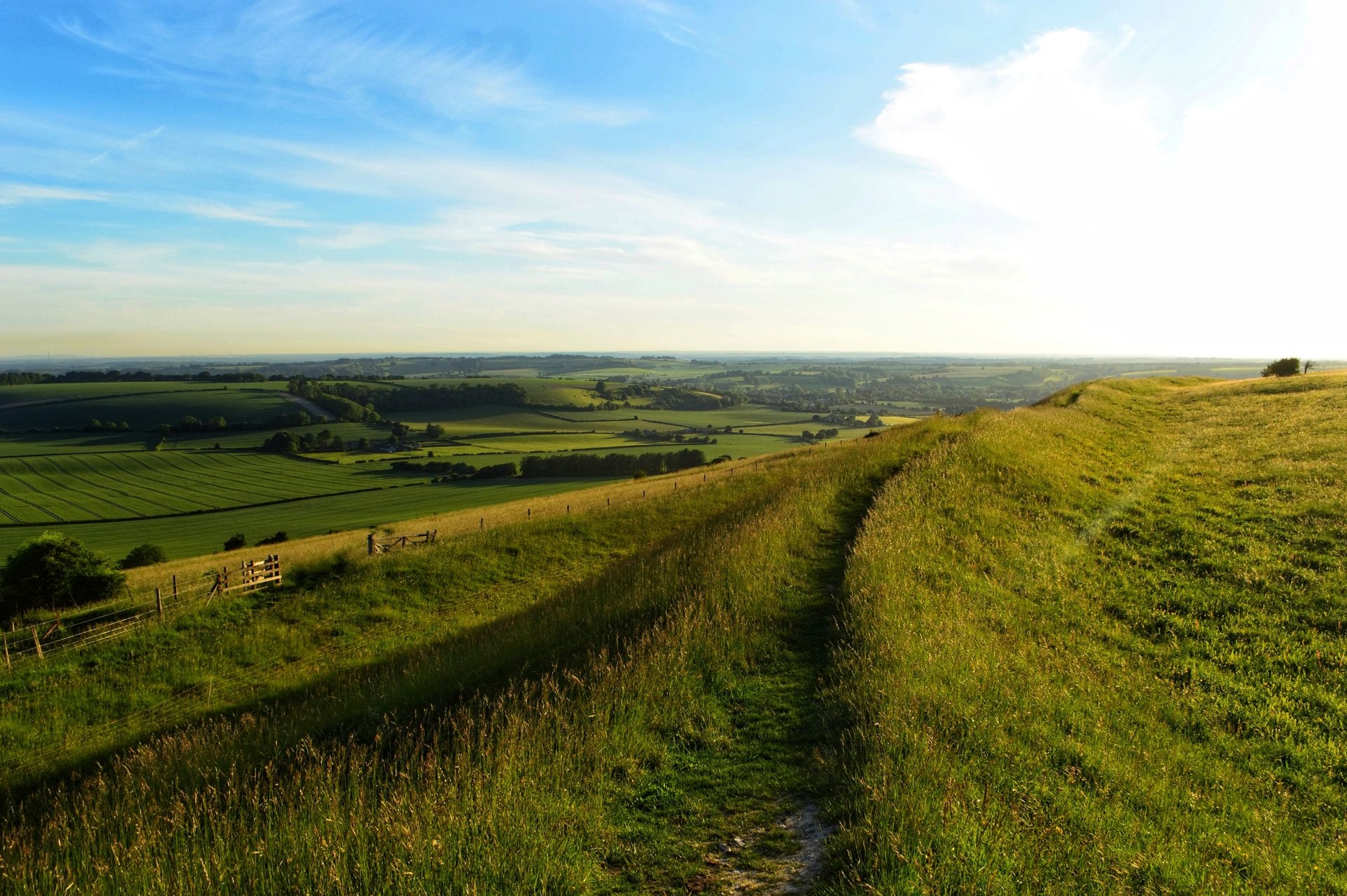 Ring-ditch in LoughmainRing-ditch · 319 yd
 Naul HillMountain / peak · 541 yd
 Westown HouseCastle, tower house · 1111 yd
 Bun-na-CnoicMemorial · 1147 yd
 Catholic Church of the Nativity of Our Ladychurch/chapel · 1516 yd
 Seamus Ennis Cultural CentreMemorial · 1627 yd
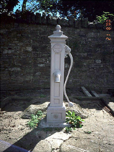 water pumpwater pump · 1647 yd
 Bawn in NaulBawn · 1.1 mi
 KnockbrackMountain / peak · 1.2 mi
 St Kenny's WellSpring · 1.3 mi
 St. John's WellSpring · 2.7 mi
Other information
Photo: Credit not shown in the picture search · Rights wording not checked; contact us if this picture should be removed