What is recorded here
Located within a large field situated on a high ridge with views across to Knockbrack. Situated on a natural rise in a field ajacent to the townland boundary. An aerial photograph taken in 1972 (FSI 4513/4) shows a circular cropmark of an enclosure (diam. c. 30m). Not visible at ground level.
Compiled by: Geraldine Stout
Updated by: Christine Baker
Date of upload: 29 October 2014
A local fairy fort (ringfort/rath); wider significance not recorded.
The monument record does not grant public access. Check the route and ask the landowner before entering private land.
- What survives
- Recorded monument
Places near here
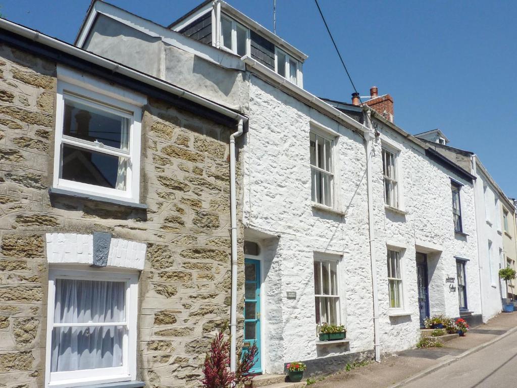 QuarryQuarry · 162 yd
 Ring-ditch in LoughmainRing-ditch · 382 yd
 Naul HillMountain / peak · 432 yd
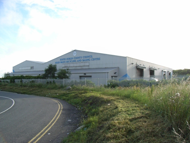 Enclosure in WestownEnclosure · 662 yd
 Bun-na-CnoicMemorial · 985 yd
 Westown HouseCastle, tower house · 995 yd
 Catholic Church of the Nativity of Our Ladychurch/chapel · 1358 yd
 Seamus Ennis Cultural CentreMemorial · 1467 yd
 Bawn in NaulBawn · 1692 yd
 KnockbrackMountain / peak · 1.2 mi
 St Kenny's WellSpring · 1.4 mi
 St. John's WellSpring · 2.7 mi
Other information
Photo: Credit not shown in the picture search · Rights wording not checked; contact us if this picture should be removed